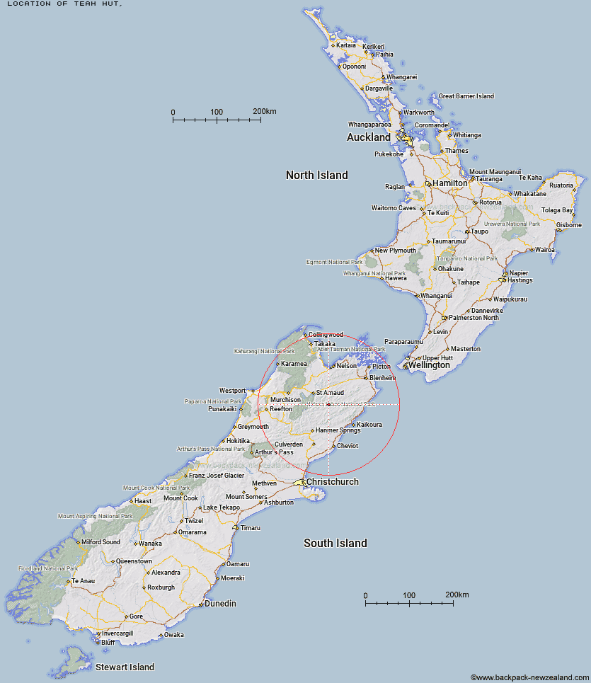
Topo Map showing location of Team Hut
This information is sourced from DoC, LINZ and Openstreetmap. Some of the hut photos are mine and the rest are from DoC. I will be adding an upload feature soon so people can photos of .Team Hut.
Latitude: -42.0208732088
Longitude: 173.168675059
Location:
Type of Hut:
Map: Topo Map | Road Map
Does this hut still exist? Have any more information? Contact
Latitude: -42.0208732088
Longitude: 173.168675059
Location:
Type of Hut:
Map: Topo Map | Road Map
Does this hut still exist? Have any more information? Contact
Scroll down to see a topographical map and road map showing the location of Team Hut
[ A ] [ B ] [ C ] [ D ] [ E ] [ F ] [ G ] [ H ] [ I ] [ J ] [ K ] [ L ] [ M ] [ N ] [ O ] [ P ] [ Q ] [ R ] [ S ] [ T ] [ U ] [ V ] [ W ] [ Y ] [ Z ]
Closest 20 Huts to Team Hut
These are as the crow fliesJunction Hut 3.29km Saxton Hut 4.08km Carters Yards Hut 5.6km Munroe Hut 6.87km Top Leatham Hut 8.91km Top Gordon Hut 10.15km Bottom Gordons Hut 10.71km Acheron Hut 11.67km Severn Hut 11.8km Burnt Yards Hut 12.53km Branch Bivouac 12.6km Bottom Misery Hut 15.66km Red Gate Hut 15.67km Barbers Hut 17.5km Siberia Hut 17.54km Lees Creek Hut 18.2km Top Misery Hut 20.96km Lost Stream Bivouac 20.98km Greigs Hut 21.15km Blue Mountain Hut 21.78km Lake McRae Hut 22.06km Connors Creek Hut 23.49km Caves Hut 23.91km Mid Silverstream Hut 23.95km Bull Paddock Creek Hut 25.34km Sedgemere Sleepout 25.59km Boulder Forks Hut 26.63km Silverstream Bivouac 27.33km Guide Hut 28.15km Half Moon Hut 28.7km Top Whare 29.14km Seymour Hut 29.32km Old Middlehurst Hut 29.89km Begley Hut 30.57km Palmer Hut 30.92km Gosling Hut 31.52km Island Gully Hut 31.53km Lakehead Hut 32.9km Turkeys Nest Bivouac 32.98km Hidden Hut 32.98km