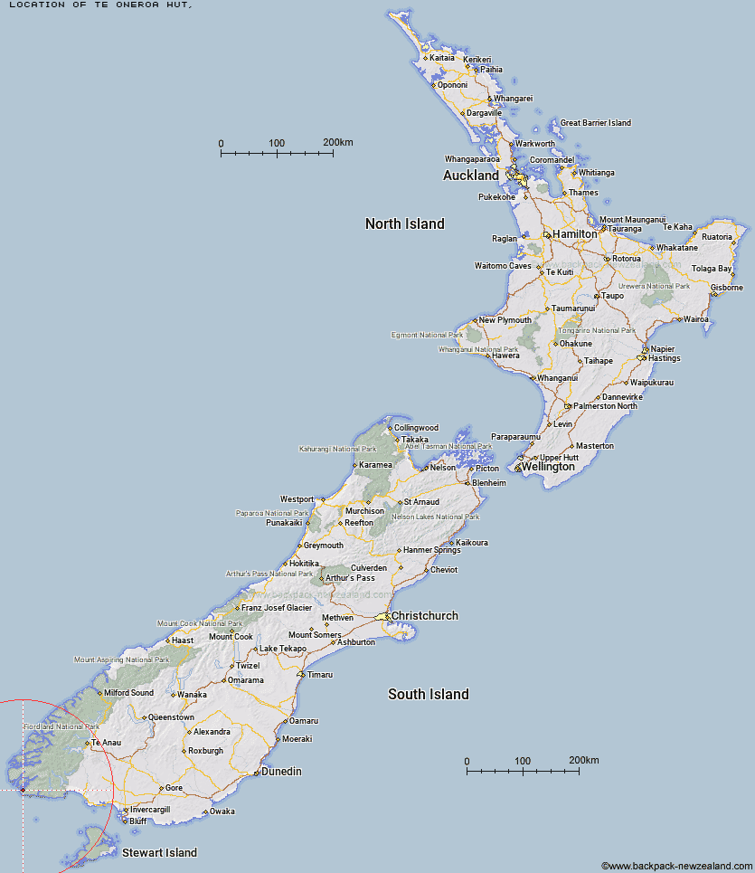
Topo Map showing location of Te Oneroa Hut
This information is sourced from DoC, LINZ and Openstreetmap. Some of the hut photos are mine and the rest are from DoC. I will be adding an upload feature soon so people can photos of .Te Oneroa Hut.
Latitude: -46.122301923
Longitude: 166.672497295
Location:
Type of Hut:
Map: Topo Map | Road Map
Does this hut still exist? Have any more information? Contact
Latitude: -46.122301923
Longitude: 166.672497295
Location:
Type of Hut:
Map: Topo Map | Road Map
Does this hut still exist? Have any more information? Contact
Scroll down to see a topographical map and road map showing the location of Te Oneroa Hut
[ A ] [ B ] [ C ] [ D ] [ E ] [ F ] [ G ] [ H ] [ I ] [ J ] [ K ] [ L ] [ M ] [ N ] [ O ] [ P ] [ Q ] [ R ] [ S ] [ T ] [ U ] [ V ] [ W ] [ Y ] [ Z ]
Closest 20 Huts to Te Oneroa Hut
These are as the crow fliesWesties Hut 24.89km Slaughterburn Hut 31.31km Waitutu Hut 32.68km Lake Poteriteri Hut 37.08km Wairaurahiri Hut 44.42km Teal Bay Hut 48.39km Hauroko Burn Hut 48.86km Okaka Lodge 49.31km Percy Burn Hut 50.47km Supper Cove Hut 51.23km Caroline Hut 51.27km Port Craig School Hut 54.21km Port Craig Lodge 54.21km Halfway Hut 54.3km Loch Maree Hut 57.37km Lake Roe Hut 59.13km Eel Creek Hut 59.55km Monowai Hut 61.33km Historic Clark Hut 62.49km Clark Hut - A Frame 62.77km Kintail Hut 66.06km Rodger Inlet Huts 66.42km Green Lake Hut 67.57km Borland Bivouac 68.77km Upper Spey Hut 71.25km Percy Shelter 77.83km North Borland Hut 79.49km West Arm Hut 80.61km Hope Arm Hut 89.62km Back Valley Hut 91.22km Turnbull's (Big Dam) Hut 92.73km Martin's Hut 92.75km Freeman Burn Hut 93.64km The Gut Hut 94.53km Barcoo Hut 96.15km Rock Hut 99.05km Telford Hut 99.64km Redcliff Hut 99.84km Shallow Bay Hut 100.99km Stantley Burn Hut 101.58km