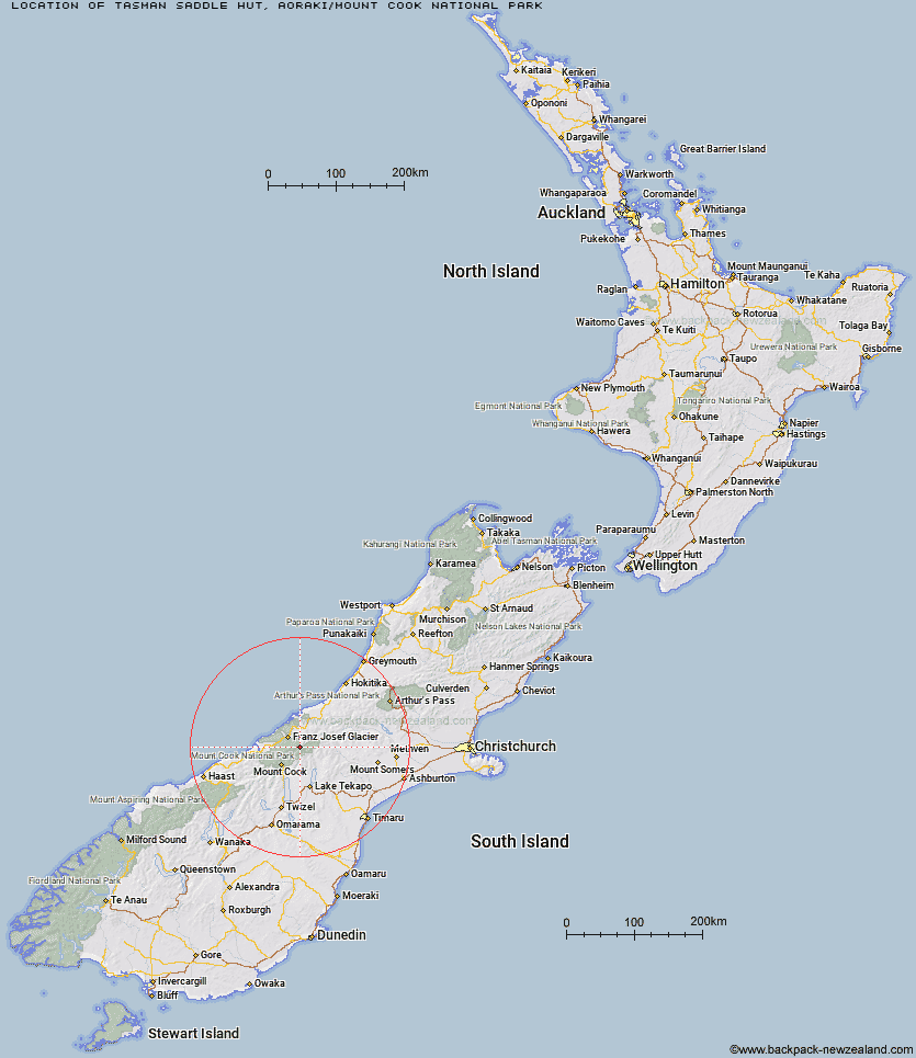
Topo Map showing location of Tasman Saddle Hut
This information is sourced from DoC, LINZ and Openstreetmap. Some of the hut photos are mine and the rest are from DoC. I will be adding an upload feature soon so people can photos of .Tasman Saddle Hut.
Basic info: This is an alpine serviced 14-bunk hut in the Aoraki/Mount Cook area.
Latitude: -43.5138016446
Longitude: 170.341889832
Location: Aoraki/Mount Cook National Park
Area: Canterbury
Type of Hut: Serviced Alpine
Map: BX16 Topo Map | Road Map
Does this hut still exist? Have any more information? Contact
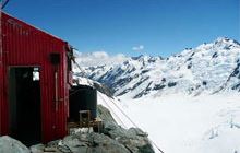
Image: DoC
Scroll down to see a topographical map and road map showing the location of Tasman Saddle Hut
[ A ] [ B ] [ C ] [ D ] [ E ] [ F ] [ G ] [ H ] [ I ] [ J ] [ K ] [ L ] [ M ] [ N ] [ O ] [ P ] [ Q ] [ R ] [ S ] [ T ] [ U ] [ V ] [ W ] [ Y ] [ Z ]
Closest 20 Huts to Tasman Saddle Hut
These are as the crow fliesKelman Hut 1.66km Murchison Hut 4.26km Whymper Hut 8.33km Centennial Hut 8.73km Spencer Rock Bivouac 10.36km Onslow Hut (Steffan Memorial Hut) 11km Eade Memorial Hut 11.31km Almer Hut 11.61km Pioneer Hut 12.95km Liebig Hut 13.03km Top Butler Hut 13.08km Butler Junction Hut 13.17km Red Stag Hut 13.27km Haast Hut 13.99km Godley Hut 14.09km Rankin Hut 14.6km Plateau Hut 14.91km Castle Rocks Hut 15.65km Hende's Hut 16.01km Ball Hut 17.33km Stan's Hut 18.28km Memorial Hut 18.55km Chancellor Hut 18.83km Angus Hut 18.95km Birdcage Hut 19.05km Caroline Hut 19.33km Empress Hut 19.89km Nolans Hut 21.59km Macaulay Hut 22.34km Scone Hut 23.92km Copland Shelter 25.12km Forbes Bivouac 25.29km Ribbonwood Hut 25.31km Tin Hut 25.41km Carneys Bivvy's 25.93km Littles Hut 26.07km Murphys Bivvy 27.54km Stony Stream Hut 27.84km Ryders Hut 28.41km Stocking Stream Shelter 28.45km