Topo Map showing location of Otutu Hut
This information is sourced from DoC, LINZ and Openstreetmap. Some of the hut photos are mine and the rest are from DoC. I will be adding an upload feature soon so people can photos of .Otutu Hut.
Basic info: This hut is a comfortable base for many hunting opportunities and a tramping stop-over point for exploring the more remote areas of the Kaweka Forest Park.
Latitude: -39.2735867257
Longitude: 176.232987785
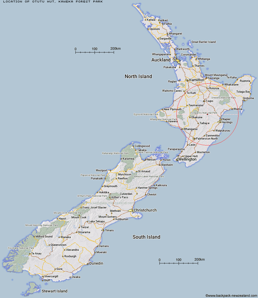
Location: Kaweka Forest Park
Area: Hawke's Bay
Type of Hut: Standard
Map: BJ37 Topo Map | Road Map
Does this hut still exist? Have any more information? Contact
Basic info: This hut is a comfortable base for many hunting opportunities and a tramping stop-over point for exploring the more remote areas of the Kaweka Forest Park.
Latitude: -39.2735867257
Longitude: 176.232987785
Location: Kaweka Forest Park
Area: Hawke's Bay
Type of Hut: Standard
Map: BJ37 Topo Map | Road Map
Does this hut still exist? Have any more information? Contact

Image: DoC
Scroll down to see a topographical map and road map showing the location of Otutu Hut
[ A ] [ B ] [ C ] [ D ] [ E ] [ F ] [ G ] [ H ] [ I ] [ J ] [ K ] [ L ] [ M ] [ N ] [ O ] [ P ] [ Q ] [ R ] [ S ] [ T ] [ U ] [ V ] [ W ] [ Y ] [ Z ]
Closest 20 Huts to Otutu Hut
These are as the crow fliesOtutu Island Hut 1.7km Manson Hut 3.42km Old Manson Hut 3.66km Ngaawapurua Hut 4.6km Rocks Ahead Bivouac 5.36km Manson Bivouac 5.45km Rocks Ahead Hut 5.49km Omarukokere Bivouac 5.71km Kiwi Mouth Hut 7.03km Rock Camp Bivouac 7.24km Venison Tops Hut (Tira Lodge) 8.18km Back Ridge Bivouac 8.64km Harkness Hut 8.7km Golden Hills Hut 8.89km Te Puke (Te Pukeohikarua) Hut 9.66km Kiwi Saddle Hut 10.05km Mangaturutu Hut 10.3km Back Ridge Hut 10.63km Cameron Hut 11.04km Studholme Saddle Hut 11.71km Studholme Saddle Bivouac 11.79km Tussock Hut 12.1km Ballard Hut 12.42km Te Apunga Hut 13.78km Dominie Hut 13.88km Makahu Saddle Hut 15.11km Mangatainoka Hut 15.23km Mackintosh Hut 15.59km Kaweka Flats Bivouac 15.86km Iron Whare 17.12km Middle Hill Hut 17.44km Makino Hut 17.7km Black Birch Bivouac 17.94km WTFRW Hut 18.53km East Creek Hut 21.15km Lowry Shelter 21.59km Oamaru Hut 22.2km Comet Hut 22.21km Poronui Hut 22.74km Red Hut 22.98km