Topo Map showing location of Oturere Hut
This information is sourced from DoC, LINZ and Openstreetmap. Some of the hut photos are mine and the rest are from DoC. I will be adding an upload feature soon so people can photos of .Oturere Hut.
Basic info: 26-bunk hut located on the Tongariro Northern Circuit in the Turangi/Taupo area.
Latitude: -39.158677704
Longitude: 175.689221972
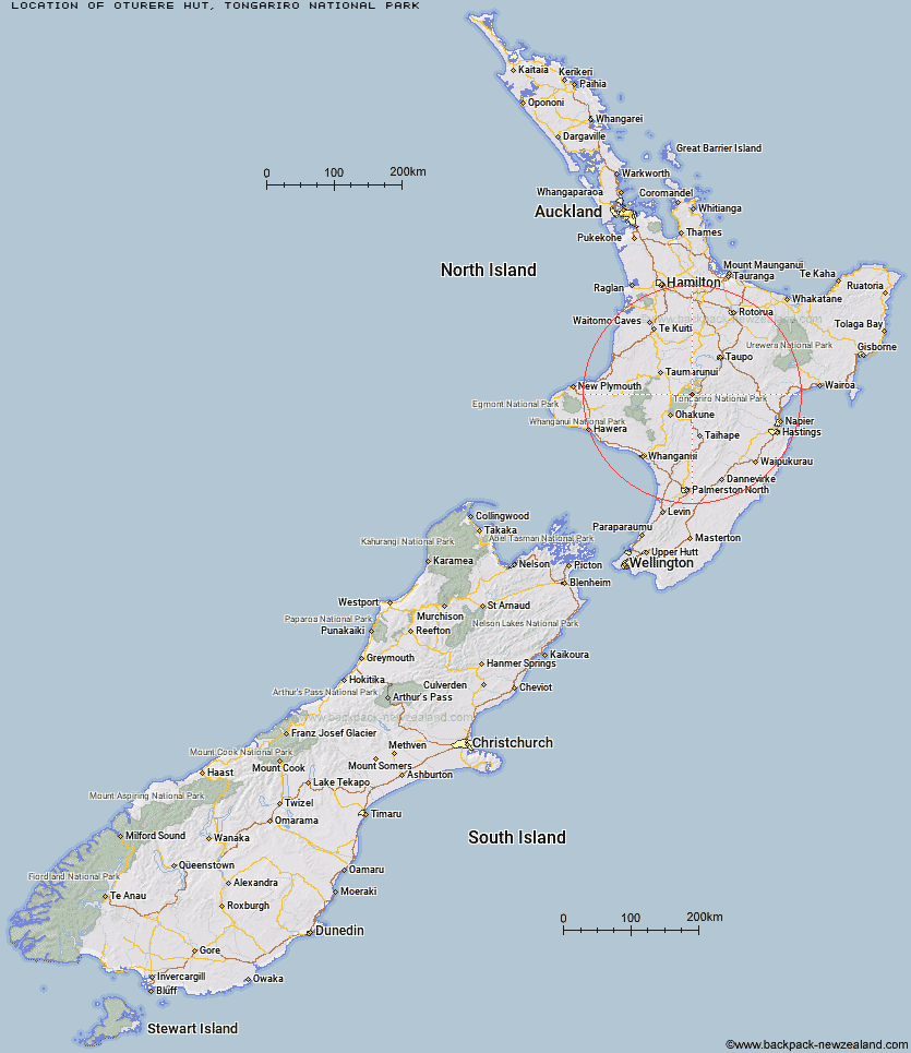
Location: Tongariro National Park
Area: Central North Island
Type of Hut: Great Walk
Tracks: Tongariro Northern Circuit
Map: BH35 Topo Map | Road Map
Does this hut still exist? Have any more information? Contact
Basic info: 26-bunk hut located on the Tongariro Northern Circuit in the Turangi/Taupo area.
Latitude: -39.158677704
Longitude: 175.689221972
Location: Tongariro National Park
Area: Central North Island
Type of Hut: Great Walk
Tracks: Tongariro Northern Circuit
Map: BH35 Topo Map | Road Map
Does this hut still exist? Have any more information? Contact

Image: DoC
Scroll down to see a topographical map and road map showing the location of Oturere Hut
[ A ] [ B ] [ C ] [ D ] [ E ] [ F ] [ G ] [ H ] [ I ] [ J ] [ K ] [ L ] [ M ] [ N ] [ O ] [ P ] [ Q ] [ R ] [ S ] [ T ] [ U ] [ V ] [ W ] [ Y ] [ Z ]
Closest 20 Huts to Oturere Hut
These are as the crow fliesWaihohonu Hut 5.71km Old Waihohonu Hut 5.81km Ketetahi Shelter 6.44km Mangatepopo Hut 8.13km Whangaehu Hut 16.27km Rangipo Hut 16.7km Whakapapaiti Hut 17.2km Mangaturuturu Hut 22.29km Waipakihi Hut 23.52km Mangaehuehu Hut 23.75km Blyth Hut 23.88km Lupton Hut 24.12km Ten Man Hut 26.15km Bob's Hut 34.08km Te Apunga Hut 34.81km Westlawn Hut 35.66km WTFRW Hut 38.05km Cascade Hut 38.23km Golden Hills Hut 40.85km Zekes Hut 42.77km Tussock Hut 45.37km Otutu Island Hut 46.86km Harkness Hut 47.58km Hauhungaroa Hut 47.86km Otutu Hut 48.56km Ngaawapurua Hut 48.97km Oamaru Hut 50.51km Te Puke (Te Pukeohikarua) Hut 50.78km Rock Camp Bivouac 51.01km Manson Hut 51.48km Old Manson Hut 51.75km Poronui Hut 51.76km Mangatainoka Hut 52.11km Waihaha Hut 52.12km East Creek Hut 52.58km Omarukokere Bivouac 52.91km Red Hut 53.72km Rocks Ahead Bivouac 53.81km Manson Bivouac 53.87km Rocks Ahead Hut 53.92km