Topo Map showing location of Otapukawa Hut
This information is sourced from DoC, LINZ and Openstreetmap. Some of the hut photos are mine and the rest are from DoC. I will be adding an upload feature soon so people can photos of .Otapukawa Hut.
Basic info: standard eight-bunk hut in the Te Urewera area.
Latitude: -38.3924330618
Longitude: 177.148986597
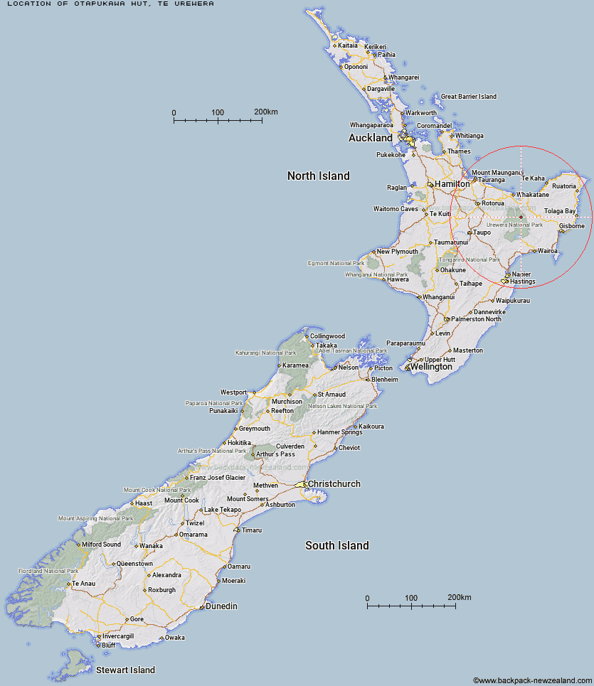
Location: Te Urewera
Area: East Coast
Type of Hut: Standard
Tracks: Waimana Valley tracks
Map: BF40 Topo Map | Road Map
Does this hut still exist? Have any more information? Contact
Basic info: standard eight-bunk hut in the Te Urewera area.
Latitude: -38.3924330618
Longitude: 177.148986597
Location: Te Urewera
Area: East Coast
Type of Hut: Standard
Tracks: Waimana Valley tracks
Map: BF40 Topo Map | Road Map
Does this hut still exist? Have any more information? Contact
Scroll down to see a topographical map and road map showing the location of Otapukawa Hut
[ A ] [ B ] [ C ] [ D ] [ E ] [ F ] [ G ] [ H ] [ I ] [ J ] [ K ] [ L ] [ M ] [ N ] [ O ] [ P ] [ Q ] [ R ] [ S ] [ T ] [ U ] [ V ] [ W ] [ Y ] [ Z ]
Closest 20 Huts to Otapukawa Hut
These are as the crow fliesTe Pourewa Hut 4.72km Otane Hut 6.03km Koaunui Hut 6.16km Te Pua Hut 8.44km Te Panaa Hut 8.62km Tataweka Hut 9.47km Ohane Hut 10.09km Onepu Hut 10.69km Tawa Hut 10.92km Koranga Forks Hut 12.09km Waikare Junction Hut 12.73km Makakoere Hut 12.9km Nikau Flat Hut 13km Otanetea Hut 13.72km Ohora Hut 14.36km Taurawharona Hut 14.57km Kahunui Hut 14.77km Te Rangaakapua Hut 15.11km Mangatoatoa Hut 15.14km Takurua Hut 15.78km Makomako Hut 16.09km Kotepato Hut 16.88km Hanamahihi Hut 17.07km Ngahiramai Hut 18.6km Wharekahika Hut 18.78km Tawhiwhi Hut 19.25km Apiti Hut 20.26km Manaohou Right Branch Hut 20.28km Waiawa Hut 21.14km Saddle (Mangaawai) Hut 22.45km Casino Hut 22.68km Twain (Waipotiki) Hut 23.57km Duckville Hut 23.78km Mangamako Hut 25.47km Kanohirua Hut 25.76km Waihua Hut 26.09km Tokenui Hut 27.32km Brills Bivouac 27.44km Horomanga Base Camp 28.1km Savlon Hut 28.18km