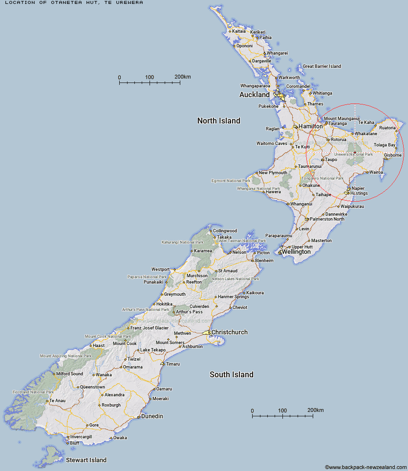
Topo Map showing location of Otanetea Hut
This information is sourced from DoC, LINZ and Openstreetmap. Some of the hut photos are mine and the rest are from DoC. I will be adding an upload feature soon so people can photos of .Otanetea Hut.
Basic info: basic six-bunk hut in the Te Urewera area.
Latitude: -38.4905721858
Longitude: 177.053505774
Location: Te Urewera
Area: East Coast
Type of Hut: Basic/bivvies
Map: BF40 Topo Map | Road Map
Does this hut still exist? Have any more information? Contact
Basic info: basic six-bunk hut in the Te Urewera area.
Latitude: -38.4905721858
Longitude: 177.053505774
Location: Te Urewera
Area: East Coast
Type of Hut: Basic/bivvies
Map: BF40 Topo Map | Road Map
Does this hut still exist? Have any more information? Contact
Scroll down to see a topographical map and road map showing the location of Otanetea Hut
[ A ] [ B ] [ C ] [ D ] [ E ] [ F ] [ G ] [ H ] [ I ] [ J ] [ K ] [ L ] [ M ] [ N ] [ O ] [ P ] [ Q ] [ R ] [ S ] [ T ] [ U ] [ V ] [ W ] [ Y ] [ Z ]
Closest 20 Huts to Otanetea Hut
These are as the crow fliesTakurua Hut 4.21km Taurawharona Hut 4.22km Te Panaa Hut 5.31km Tawhiwhi Hut 6.07km Ngahiramai Hut 6.6km Te Pua Hut 7.55km Makomako Hut 8.28km Waiawa Hut 8.3km Te Pourewa Hut 9.13km Ohane Hut 10.29km Hanamahihi Hut 10.64km Mangatoatoa Hut 10.74km Otane Hut 11.54km Waikare Junction Hut 11.91km Kanohirua Hut 12.7km Te Rangaakapua Hut 13.54km Otapukawa Hut 13.72km Manaohou Right Branch Hut 14.64km Tataweka Hut 14.84km Makakoere Hut 17.05km Onepu Hut 18.72km Tawa Hut 19.27km Manuoha Hut 19.31km Kahunui Hut 19.48km Koaunui Hut 19.79km Ohora Hut 19.86km Mangapouri Hut 19.96km Duckville Hut 20.82km Horomanga Base Camp 21.62km Koranga Forks Hut 22.87km Whakatakaa Hut 22.9km Casino Hut 23.32km Okui Hut 23.4km Apiti Hut 24.53km Mangamako Hut 25.13km Nikau Flat Hut 25.53km Whanganui Hut 25.63km Saddle (Mangaawai) Hut 25.96km Sandy Bay Hut 26.17km Wharekahika Hut 26.88km