Topo Map showing location of Mangakirikiri Hut
This information is sourced from DoC, LINZ and Openstreetmap. Some of the hut photos are mine and the rest are from DoC. I will be adding an upload feature soon so people can photos of .Mangakirikiri Hut.
Basic info: A tidy 6-bunk hut on a high terrace above the Motu - Mangakirikiri confluence. The hut has tank water and an open fire.
Latitude: -38.0131991875
Longitude: 177.67809119
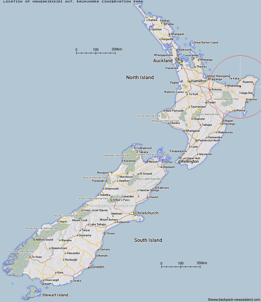
Location: Raukumara Conservation Park
Area: East Coast
Type of Hut: Basic/bivvies
Map: BE42 Topo Map | Road Map
Does this hut still exist? Have any more information? Contact
Basic info: A tidy 6-bunk hut on a high terrace above the Motu - Mangakirikiri confluence. The hut has tank water and an open fire.
Latitude: -38.0131991875
Longitude: 177.67809119
Location: Raukumara Conservation Park
Area: East Coast
Type of Hut: Basic/bivvies
Map: BE42 Topo Map | Road Map
Does this hut still exist? Have any more information? Contact

Image: DoC
Scroll down to see a topographical map and road map showing the location of Mangakirikiri Hut
[ A ] [ B ] [ C ] [ D ] [ E ] [ F ] [ G ] [ H ] [ I ] [ J ] [ K ] [ L ] [ M ] [ N ] [ O ] [ P ] [ Q ] [ R ] [ S ] [ T ] [ U ] [ V ] [ W ] [ Y ] [ Z ]
Closest 20 Huts to Mangakirikiri Hut
These are as the crow fliesMangakirikiri Hut 0km Mangaotane Hut (McMillans) 12.75km Pakihi Hut 25.38km Pakihi Heads Hut 28.81km Te Waiti Hut 29.58km Wahaatua Hut 30.03km Hastings Hut 30.53km Oronui Hut 31.31km Lagoon Hut 32.19km Green Hut 33.03km Savlon Hut 34.62km Tokenui Hut 35.27km Hikurangi Hut 35.43km Manganuku Hut 35.74km Brills Bivouac 36.21km Kotepato Hut 47.02km Nikau Flat Hut 50.95km Koranga Forks Hut 54.66km Koaunui Hut 56.92km Tawa Hut 59.2km Wharekahika Hut 62.09km Otapukawa Hut 62.58km Kahunui Hut 62.6km Tataweka Hut 63.66km Onepu Hut 63.68km Makakoere Hut 63.87km Otane Hut 65.17km Ohora Hut 66.71km Te Pourewa Hut 67.3km Twain (Waipotiki) Hut 68.86km Apiti Hut 69.11km Te Pua Hut 69.29km Te Rangaakapua Hut 70.02km Saddle (Mangaawai) Hut 70.8km Te Panaa Hut 70.81km Ohane Hut 70.82km Waikare Junction Hut 72.43km Mangatoatoa Hut 72.54km Waihua Hut 75.05km Casino Hut 75.13km