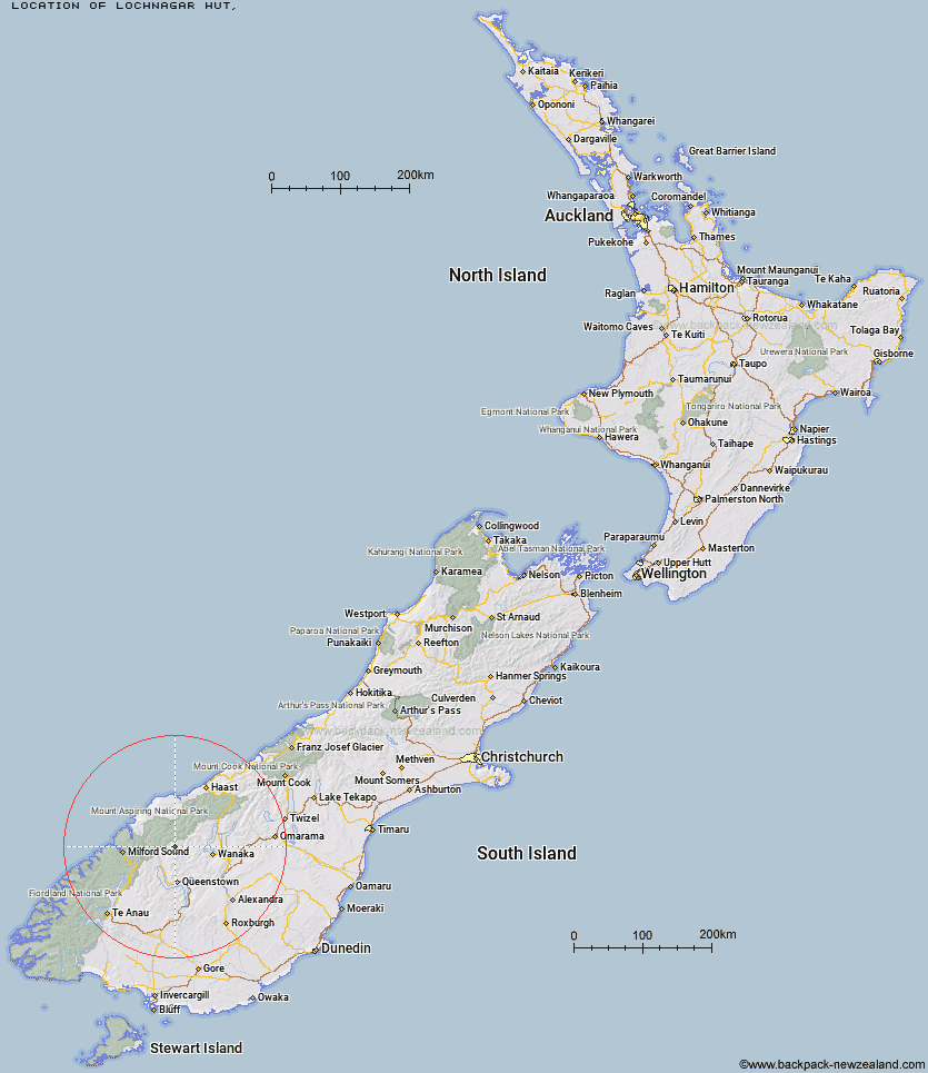
Topo Map showing location of Lochnagar Hut
This information is sourced from DoC, LINZ and Openstreetmap. Some of the hut photos are mine and the rest are from DoC. I will be adding an upload feature soon so people can photos of .Lochnagar Hut.
Latitude: -44.5957289564
Longitude: 168.619773933
Location:
Type of Hut:
Map: Topo Map | Road Map
Does this hut still exist? Have any more information? Contact
Latitude: -44.5957289564
Longitude: 168.619773933
Location:
Type of Hut:
Map: Topo Map | Road Map
Does this hut still exist? Have any more information? Contact
Scroll down to see a topographical map and road map showing the location of Lochnagar Hut
[ A ] [ B ] [ C ] [ D ] [ E ] [ F ] [ G ] [ H ] [ I ] [ J ] [ K ] [ L ] [ M ] [ N ] [ O ] [ P ] [ Q ] [ R ] [ S ] [ T ] [ U ] [ V ] [ W ] [ Y ] [ Z ]
Closest 20 Huts to Lochnagar Hut
These are as the crow fliesHundred Mile Hut 3.44km Tummel Burn Hut 4.97km Sixteen Mile Huts 8.89km Shelter Rock Hut 9.7km Dart Hut 9.73km Cascade Hut 12.07km Twenty Five Mile Hut 12.83km Shiel Burn Hut 13.19km Aspiring Hut 13.57km Raspberry Creek Shelter 13.67km Earnslaw Hut 13.94km Polnoon Hut 14.14km Black Peak Hut 16.42km Cabin Hut 16.81km Esquilant Bivvy Hut 16.98km Ballarat Hut - Flood Burn 17.51km Liverpool Hut 18.65km French Ridge Hut 19.49km Daleys Flat Hut 20.14km Scotts Rock Bivouac 20.21km Arawhata Rock Bivouac 20.27km Saddle Hut 21.41km Bullendale Hut 21.75km Archie's Hut - Copper Creek 22.32km Dynamo Hut 23.1km Rock of Ages Bivouac 24.74km Colin Todd Hut 25.57km Crystal Hut 26.4km Peats Hut 27.23km Stoney Creek Hut 28.24km Sainsburys Huts 28.67km McIntosh Hut 29.24km Roses Hut 30.12km McIntyre's Hut 30.25km Routeburn Shelter 30.28km Wallers Hut 30.51km Heather Jock Hut 31.54km Jean Hut 31.82km Bonnie Jean Hut 32.24km Highland Creek Hut 32.28km