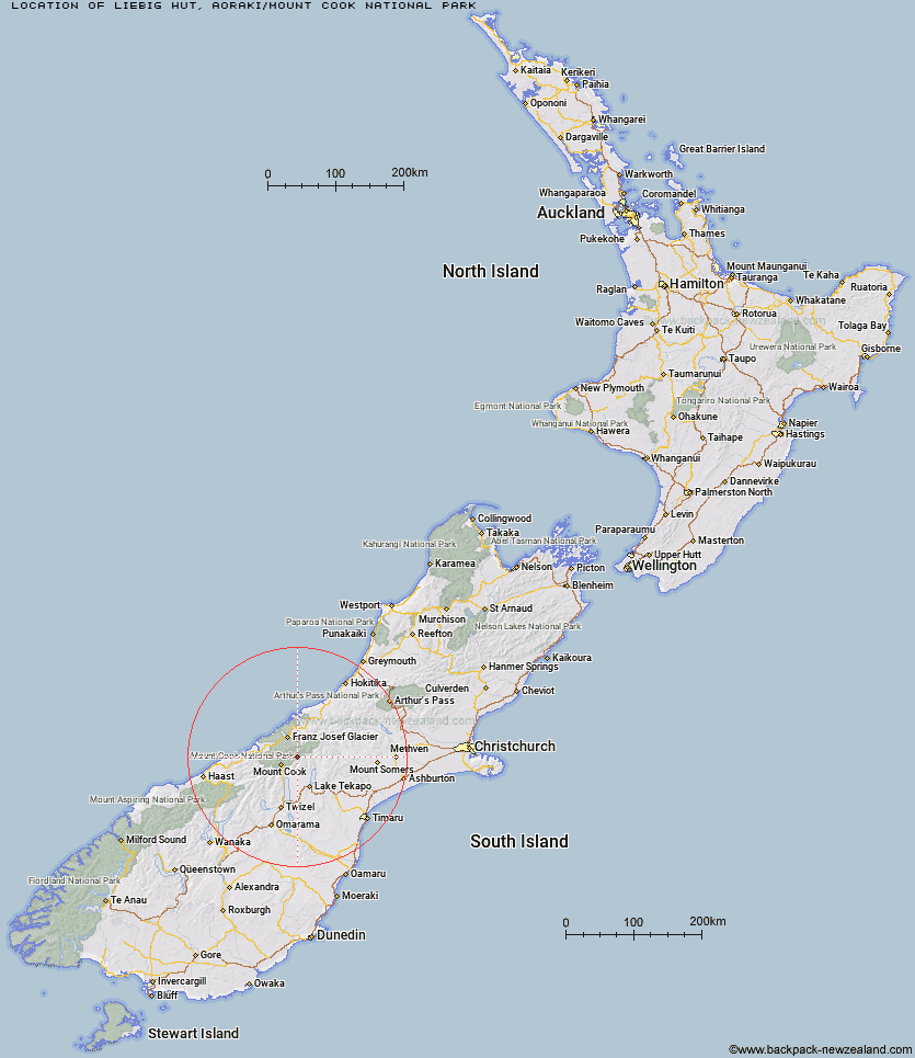
Topo Map showing location of Liebig Hut
This information is sourced from DoC, LINZ and Openstreetmap. Some of the hut photos are mine and the rest are from DoC. I will be adding an upload feature soon so people can photos of .Liebig Hut.
Basic info: standard six-bunk hut in the Aoraki/Mount Cook area.
Latitude: -43.6287941896
Longitude: 170.310622501
Location: Aoraki/Mount Cook National Park
Area: Canterbury
Type of Hut: Standard
Map: BX16 Topo Map | Road Map
Does this hut still exist? Have any more information? Contact
Basic info: standard six-bunk hut in the Aoraki/Mount Cook area.
Latitude: -43.6287941896
Longitude: 170.310622501
Location: Aoraki/Mount Cook National Park
Area: Canterbury
Type of Hut: Standard
Map: BX16 Topo Map | Road Map
Does this hut still exist? Have any more information? Contact
Scroll down to see a topographical map and road map showing the location of Liebig Hut
[ A ] [ B ] [ C ] [ D ] [ E ] [ F ] [ G ] [ H ] [ I ] [ J ] [ K ] [ L ] [ M ] [ N ] [ O ] [ P ] [ Q ] [ R ] [ S ] [ T ] [ U ] [ V ] [ W ] [ Y ] [ Z ]
Closest 20 Huts to Liebig Hut
These are as the crow fliesOnslow Hut (Steffan Memorial Hut) 2.17km Memorial Hut 8.05km Birdcage Hut 8.64km Ball Hut 9.65km Haast Hut 10.51km Caroline Hut 11.27km Plateau Hut 11.36km Kelman Hut 12.84km Tasman Saddle Hut 13.03km Littles Hut 13.05km Angus Hut 13.51km Rankin Hut 13.62km Murchison Hut 13.99km Tin Hut 14.1km Centennial Hut 14.77km Pioneer Hut 14.92km Empress Hut 15.67km Ryders Hut 17.09km Copland Shelter 17.31km Ribbonwood Hut 18.12km Red Stag Hut 18.33km Eade Memorial Hut 18.4km Green Point Hut 18.83km Stocking Stream Shelter 18.83km Almer Hut 19.03km Middle Gorge Hut 19.44km Waterfall Hut 19.54km Sefton Bivvy 20km Chancellor Hut 20.95km Whymper Hut 21.34km Spencer Rock Bivouac 21.61km Mueller Hut 22.24km Castle Rocks Hut 22.71km Godley Hut 23.06km Douglas Rock Hut 23.64km Macaulay Hut 24.18km Hende's Hut 24.27km Stony Stream Hut 24.86km Top Butler Hut 25.43km Butler Junction Hut 25.97km