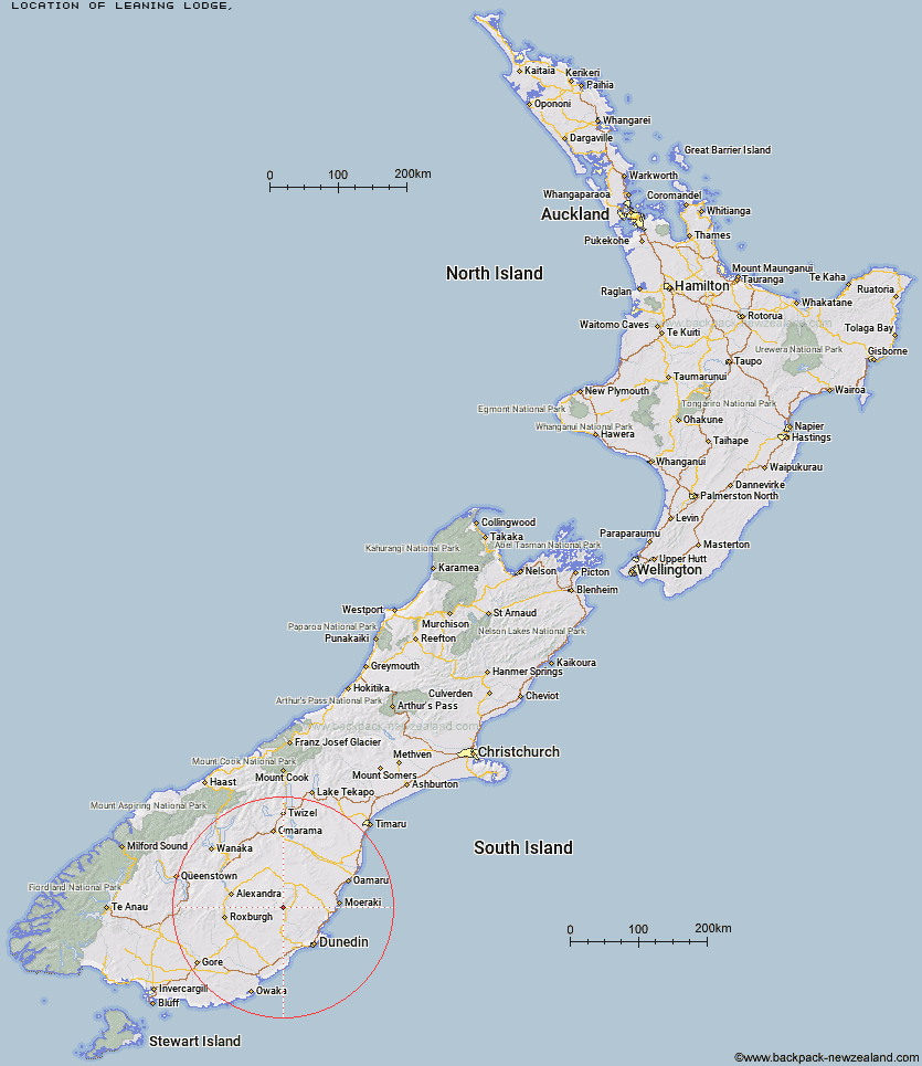
Topo Map showing location of Leaning Lodge
This information is sourced from DoC, LINZ and Openstreetmap. Some of the hut photos are mine and the rest are from DoC. I will be adding an upload feature soon so people can photos of .Leaning Lodge.
Latitude: -45.419290491
Longitude: 170.087089739
Location:
Type of Hut:
Map: Topo Map | Road Map
Does this hut still exist? Have any more information? Contact
Latitude: -45.419290491
Longitude: 170.087089739
Location:
Type of Hut:
Map: Topo Map | Road Map
Does this hut still exist? Have any more information? Contact
Scroll down to see a topographical map and road map showing the location of Leaning Lodge
[ A ] [ B ] [ C ] [ D ] [ E ] [ F ] [ G ] [ H ] [ I ] [ J ] [ K ] [ L ] [ M ] [ N ] [ O ] [ P ] [ Q ] [ R ] [ S ] [ T ] [ U ] [ V ] [ W ] [ Y ] [ Z ]
Closest 20 Huts to Leaning Lodge
These are as the crow fliesBig Hut 2.05km Howells Hut 17.13km Canadian Hut 25.64km The Swamp Hut 25.89km Tent Hut 32.87km Bendoran Hut 39.73km Mt John Hut 41.57km Christmas Creek Hut 41.77km Gentle Annie Hut 41.86km Cayenne Hut 43.17km Jubilee Hut 43.2km Poplar Hut 43.39km Half Moon Hut 45.02km Crumb Hut 45.19km Grays Hut 45.48km Philip J Cox Memorial Hut 45.56km Mitchells Hut 45.84km Possum Hut 47.62km Red Hut 48.37km Staircase Hut 48.41km Bog Hut 48.54km Mount Hut 50.81km Middle Hut 51.68km Iron Hut 53.02km Ben Rudds Hut 53.9km Balmoral Huts 56.82km Buster Hut 57.01km Brown Hut 60.65km Wire Yards Hut 63.4km Ida Railway Hut 63.76km Tailings Hut 63.8km Hut Creek Hut 66.89km Chimney Creek Hut 67.61km Nicholsons Hut 70.74km Junction Hut 71.15km Lauder Basin Hut 72.07km Awakino Ski Field 73.41km Potters Huts 73.58km Andrew Rees Hut 73.99km Boundary Hut 74.24km