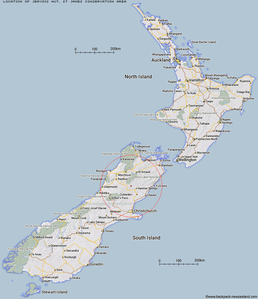
Topo Map showing location of Jervois Hut
This information is sourced from DoC, LINZ and Openstreetmap. Some of the hut photos are mine and the rest are from DoC. I will be adding an upload feature soon so people can photos of .Jervois Hut.
Basic info: basic four-bunk hut in the St James Conservation Area.
Latitude: -42.4154934248
Longitude: 172.578122905
Location: St James Conservation Area
Area: Canterbury
Type of Hut: Basic/bivvies
Map: BT23, E1565297, N5304014 Topo Map | Road Map
Does this hut still exist? Have any more information? Contact
Scroll down to see a topographical map and road map showing the location of Jervois Hut
[ A ] [ B ] [ C ] [ D ] [ E ] [ F ] [ G ] [ H ] [ I ] [ J ] [ K ] [ L ] [ M ] [ N ] [ O ] [ P ] [ Q ] [ R ] [ S ] [ T ] [ U ] [ V ] [ W ] [ Y ] [ Z ]
Closest 20 Huts to Jervois Hut
These are as the crow fliesPool Hut 3.77km Old Bridge Hut 3.79km Scotties Hut 5.32km Tin Jug Hut 5.61km Steyning Hut 6.21km Stony Stream Bivouac 6.75km Anne Hut 8.22km Anne Cullers Hut 8.39km Rokeby Hut 9.62km Boyle Flat Hut 11.13km Magdalen Hut 12.43km Stanley Vale Hut 12.95km Christopher Hut 14.17km Christopher Cullers Hut 14.81km Tutu Hut 15.18km Lake Guyon Hut 15.41km Cannibal Gorge Hut 15.67km Ada Pass Hut 15.83km Carlyle Hut 16.44km Lucretia Hut 18.88km Fowlers Hut 19.09km Brass Monkey Bivouac 21.52km Nina Hut 21.74km Pell Stream Hut 22.15km Bobs Hut 22.62km Devils Den Bivouac 24.63km East Matakitaki Hut 24.74km Bus Shelter 25.05km Upper Nina Bivouac 25.82km Lake Christabel Hut 26.61km Manson-Nicholls Memorial Hut 26.71km Doubtful Hut 27.39km Valley Camp Hut 29.12km Caroline Creek Bivouac 29.89km Burn Creek Hut 30.67km Doubtless Hut 31.21km Downie Hut 31.69km Hope Halfway Hut 31.99km Lake Man Bivouac 32.54km Glenrae Bivouac 32.97km