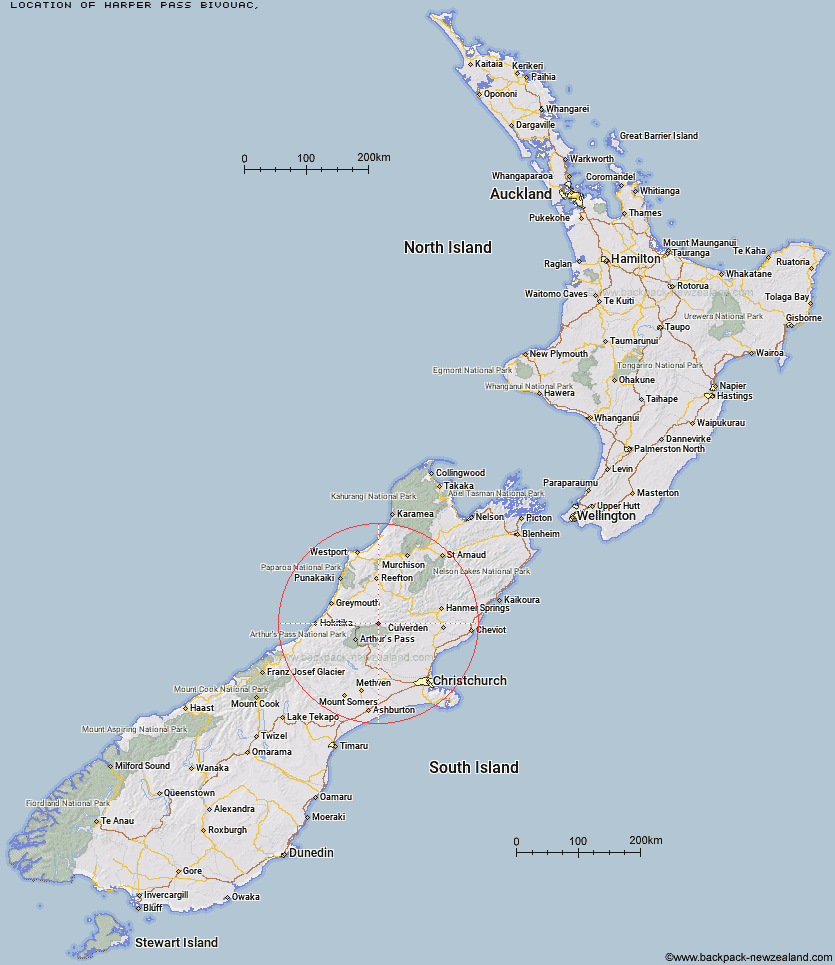
Topo Map showing location of Harper Pass Bivouac
This information is sourced from DoC, LINZ and Openstreetmap. Some of the hut photos are mine and the rest are from DoC. I will be adding an upload feature soon so people can photos of .Harper Pass Bivouac.
Latitude: -42.7250106463
Longitude: 171.896635614
Location:
Type of Hut:
Map: Topo Map | Road Map
Does this hut still exist? Have any more information? Contact
Latitude: -42.7250106463
Longitude: 171.896635614
Location:
Type of Hut:
Map: Topo Map | Road Map
Does this hut still exist? Have any more information? Contact
Scroll down to see a topographical map and road map showing the location of Harper Pass Bivouac
[ A ] [ B ] [ C ] [ D ] [ E ] [ F ] [ G ] [ H ] [ I ] [ J ] [ K ] [ L ] [ M ] [ N ] [ O ] [ P ] [ Q ] [ R ] [ S ] [ T ] [ U ] [ V ] [ W ] [ Y ] [ Z ]
Closest 20 Huts to Harper Pass Bivouac
These are as the crow fliesMid Trent Hut 3.94km Camerons Hut 4.8km Locke Stream Hut 5.67km Top Trent / Lagoon Hut 5.91km Hurunui No 3 Hut 7.94km Upper South Branch Hurunui Hut 8.56km Elizabeth Hut 10.1km Minchin Bivouac 10.49km Townsend Hut 11.16km Waikiti Hut 12.78km Kiwi Hut 13.01km Mackenzie Hut 13.11km Tutaekuri Hut 13.77km Cone Creek Hut 14.17km Poulter Bivouac 14.35km Ranger Bivouac 14.53km Trust/Poulter Hut 15.08km South Branch Research Hut 15.14km Candlesticks Bivouac 15.53km Poulter Hut 15.54km Mackenzie Bivouac 16.23km Koropuku Hut 16.38km North Esk Hut 16.43km Hurunui Hut 16.47km Lake Morgan Hut 16.77km Worsley Bivouac 16.84km Top Crooked Hut 16.95km Stony Stream Hut 17.6km Bull Creek Hut 19.59km Lake Sumner Hut 20.56km Pfeifer Bivouac 20.79km Otehake Hut 21.15km East Hawdon Bivouac 21.79km Jacko Flat Hut 21.8km Lake Mason Hut 22.03km Three Mile Stream Hut 22.47km Ant Stream Bivouac 22.71km Bush Camp Hut 23.36km Hawdon Hut 24.64km Ant Stream Hut 24.73km