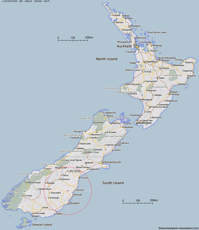
Topo Map showing location of Half Moon Hut
This information is sourced from DoC, LINZ and Openstreetmap. Some of the hut photos are mine and the rest are from DoC. I will be adding an upload feature soon so people can photos of .Half Moon Hut.
Latitude: -45.1396206612
Longitude: 170.503143981
Location:
Type of Hut:
Map: Topo Map | Road Map
Does this hut still exist? Have any more information? Contact
Latitude: -45.1396206612
Longitude: 170.503143981
Location:
Type of Hut:
Map: Topo Map | Road Map
Does this hut still exist? Have any more information? Contact
Scroll down to see a topographical map and road map showing the location of Half Moon Hut
[ A ] [ B ] [ C ] [ D ] [ E ] [ F ] [ G ] [ H ] [ I ] [ J ] [ K ] [ L ] [ M ] [ N ] [ O ] [ P ] [ Q ] [ R ] [ S ] [ T ] [ U ] [ V ] [ W ] [ Y ] [ Z ]
Closest 20 Huts to Half Moon Hut
These are as the crow fliesMitchells Hut 3.84km Grays Hut 4.58km Crumb Hut 6.34km Cayenne Hut 7.04km Middle Hut 7.41km Mount Hut 8.69km Gentle Annie Hut 9.1km Bog Hut 13.02km Balmoral Huts 13.59km Red Hut 17.67km Staircase Hut 22km Buster Hut 30.66km Brown Hut 33.63km Tailings Hut 37.66km Hut Creek Hut 38.33km Ida Railway Hut 42.29km Awakino Ski Field 43.03km Chimney Creek Hut 43.69km Wire Yards Hut 44.3km Leaning Lodge 45.02km Big Hut 46.96km Waitaki Huts 55.43km Bendoran Hut 58.67km Pearson Hut 59.97km Howells Hut 62.12km Christmas Creek Hut 63.2km Philip J Cox Memorial Hut 63.6km Jubilee Hut 64.61km Mt John Hut 64.65km Otamatapaio Hut 65.78km Possum Hut 67.67km Boundary Creek Hut 68.5km Poplar Hut 68.78km Canadian Hut 69.64km The Swamp Hut 70.91km Lauder Basin Hut 73.94km Top Hut 75.3km Ben Rudds Hut 76.44km Richmond Hut 76.59km Tent Hut 77.15km