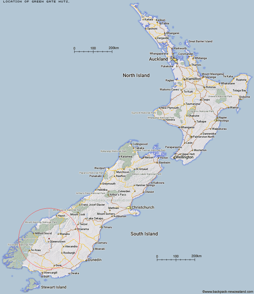
Topo Map showing location of Green Gate Huts
This information is sourced from DoC, LINZ and Openstreetmap. Some of the hut photos are mine and the rest are from DoC. I will be adding an upload feature soon so people can photos of .Green Gate Huts.
Latitude: -44.8988214456
Longitude: 168.691531062
Location:
Type of Hut:
Map: Topo Map | Road Map
Does this hut still exist? Have any more information? Contact
Latitude: -44.8988214456
Longitude: 168.691531062
Location:
Type of Hut:
Map: Topo Map | Road Map
Does this hut still exist? Have any more information? Contact
Scroll down to see a topographical map and road map showing the location of Green Gate Huts
[ A ] [ B ] [ C ] [ D ] [ E ] [ F ] [ G ] [ H ] [ I ] [ J ] [ K ] [ L ] [ M ] [ N ] [ O ] [ P ] [ Q ] [ R ] [ S ] [ T ] [ U ] [ V ] [ W ] [ Y ] [ Z ]
Closest 20 Huts to Green Gate Huts
These are as the crow fliesSainsburys Huts 5.51km Butchers Hut 6.47km Crystal Hut 7.81km Peats Hut 8km Stoney Creek Hut 9.91km Dynamo Hut 11.08km Eight Mile Hut 11.8km Archie's Hut - Copper Creek 12.2km Bullendale Hut 12.45km Kelly's Hut 16.6km Ballarat Hut - Flood Burn 16.66km Roses Hut 17.09km Wallers Hut 17.15km Heather Jock Hut 19.23km Bonnie Jean Hut 19.59km McIntosh Hut 19.98km Jean Hut 19.98km McIntyre's Hut 20.64km Sam Summers Hut 20.79km Cabin Hut 23.64km Highland Creek Hut 24.11km Shiel Burn Hut 24.48km Sixteen Mile Huts 25.36km Glen Roy Raceman's Hut 25.42km Polnoon Hut 27.58km Meg Hut 28.8km Fern Burn Hut 29.09km Long Burn Hut 31.49km Two Mile Hut 31.88km Hundred Mile Hut 32.43km Home Hill Hut 32.53km Mid Caples Hut 32.97km Saddle Hut 33.02km Slip Flat Hut 33.47km Twenty Five Mile Hut 33.6km Lochnagar Hut 34.18km Deep Creek Hut 34.4km Greenstone Hut 34.93km Black Peak Hut 35.11km Earnslaw Hut 36.33km