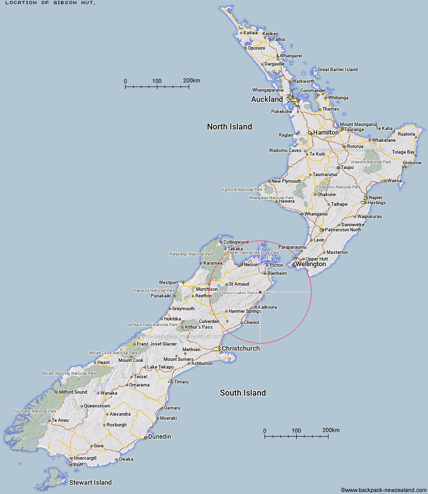
Topo Map showing location of Gibson Hut
This information is sourced from DoC, LINZ and Openstreetmap. Some of the hut photos are mine and the rest are from DoC. I will be adding an upload feature soon so people can photos of .Gibson Hut.
Latitude: -42.007537424
Longitude: 173.812871413
Location:
Type of Hut:
Map: Topo Map | Road Map
Does this hut still exist? Have any more information? Contact
Latitude: -42.007537424
Longitude: 173.812871413
Location:
Type of Hut:
Map: Topo Map | Road Map
Does this hut still exist? Have any more information? Contact
Scroll down to see a topographical map and road map showing the location of Gibson Hut
[ A ] [ B ] [ C ] [ D ] [ E ] [ F ] [ G ] [ H ] [ I ] [ J ] [ K ] [ L ] [ M ] [ N ] [ O ] [ P ] [ Q ] [ R ] [ S ] [ T ] [ U ] [ V ] [ W ] [ Y ] [ Z ]
Closest 20 Huts to Gibson Hut
These are as the crow fliesCabbage Tree Hut 3.27km Mead Hut 4.01km Dee Hut 5.35km Snowgrass Hut 7.83km Hornby Bivvy 8.57km Swale Hut 10.57km Beechs Hut 11.11km Whernside Hut 11.57km Flynns 12.44km Jam Hut 12.68km Zoo Hut 13.32km Cam Hut 14.46km Ravine Hut 15.69km Haycocks Bivouac 15.76km Isolation Hut 18.64km Fidgit Bivouac 24.12km Old Middlehurst Hut 24.35km Penk Hut 26.76km Goose Flat Hut 26.87km Barratts Bivouac 28.7km Barratts Hut 28.81km Dubious Bivouac 31.12km Lake Alexander Hut 31.31km Black Birch Bivouac 32.21km Hapuku Hut 32.33km Omaka Bivouac 33.3km Dillon Hut 34.07km Limestone Hut 36.08km Top Whare 36.63km Kowhai Hut 36.99km Beehive Hut 37.25km McNaughts Hut 37.39km Ramshead Hut 39.21km Mt Fyffe Hut 39.57km Tinpot Hut 41.09km Seymour Hut 41.66km Burnt Yards Hut 42.67km Warden Hut 43.14km Blue Mountain Hut 43.53km Black Spur Historic Hut 43.68km