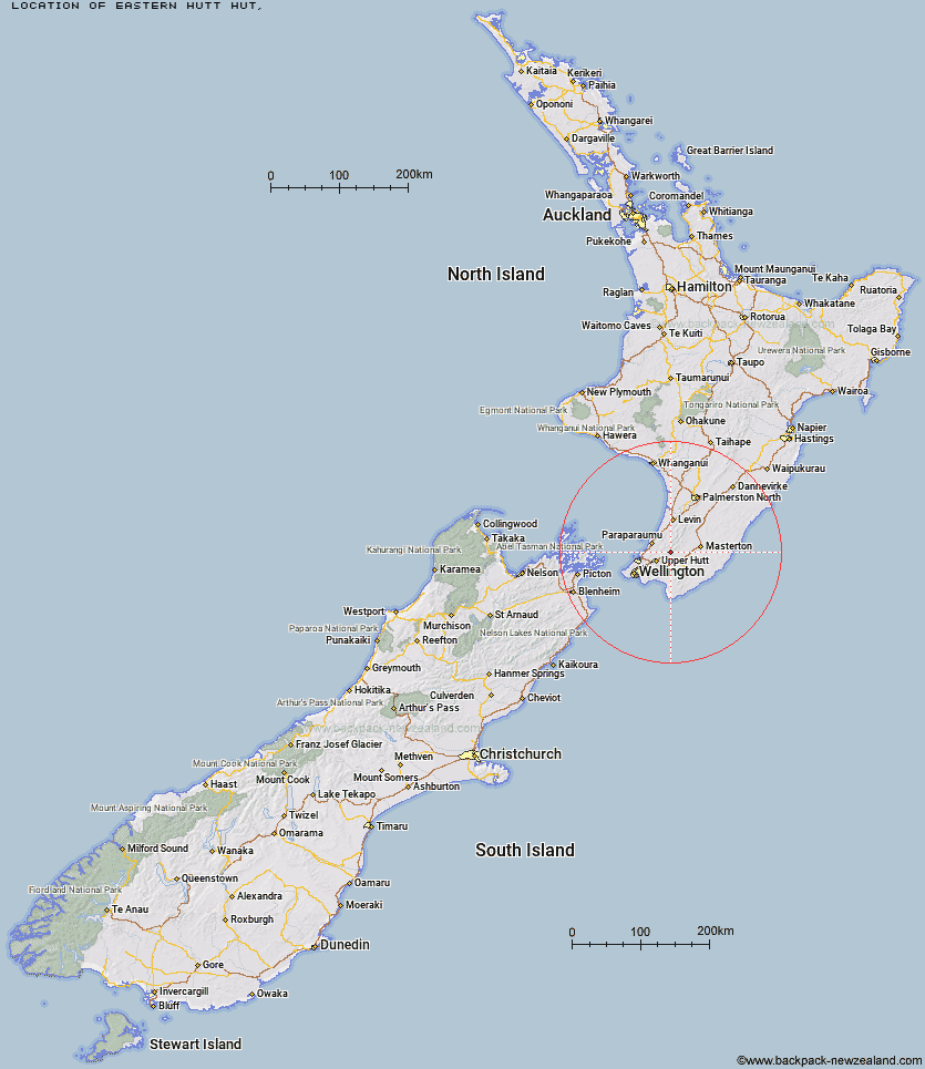
Topo Map showing location of Eastern Hutt Hut
This information is sourced from DoC, LINZ and Openstreetmap. Some of the hut photos are mine and the rest are from DoC. I will be adding an upload feature soon so people can photos of .Eastern Hutt Hut.
Latitude: -41.0159049864
Longitude: 175.261021341
Location:
Type of Hut:
Map: Topo Map | Road Map
Does this hut still exist? Have any more information? Contact
Latitude: -41.0159049864
Longitude: 175.261021341
Location:
Type of Hut:
Map: Topo Map | Road Map
Does this hut still exist? Have any more information? Contact
Scroll down to see a topographical map and road map showing the location of Eastern Hutt Hut
[ A ] [ B ] [ C ] [ D ] [ E ] [ F ] [ G ] [ H ] [ I ] [ J ] [ K ] [ L ] [ M ] [ N ] [ O ] [ P ] [ Q ] [ R ] [ S ] [ T ] [ U ] [ V ] [ W ] [ Y ] [ Z ]
Closest 20 Huts to Eastern Hutt Hut
These are as the crow fliesAlpha Hut 3.78km Smith Creek Shelter 4.49km Tutuwai Hut 5.41km Elder Hut 5.45km Cone Hut 7.72km Kime Hut 8.17km Renata Hut 9.11km Waiotauru Hut 10.65km Waiohine Shelter 10.95km Field Hut 12.03km Neill Forks Hut 12.21km Penn Creek Hut 12.89km Maungahuka Hut 13.05km Sayer Hut 13.59km Kapakapanui Hut 14.13km Totara Flats Hut 15.1km Aokaparangi Hut 16.12km Mid Waiohine Hut 18.75km Mountain House Shelter 19.68km Powell Hut 20km Anderson Memorial Hut 20.46km Waitewaewae Hut 20.91km Atiwhakatu Hut 23.08km Jumbo Hut 23.41km McGregor Bivouac 23.95km Nichols Hut 24.82km Mid King Bivouac 26.21km Dorset Ridge Hut 26.85km Carkeek Hut 27.55km Mitre Flats Hut 27.56km Tarn Ridge Hut 29.03km Dracophyllum Hut 29.43km Waiorongomai Hut 29.73km Arete Forks Hut 32.32km Waikawa Shelter 32.83km Cow Creek Hut 32.87km Blue Range Hut 32.89km Te Matawai Hut 33.05km Waiopehu Hut 33.19km Arete Hut 33.21km