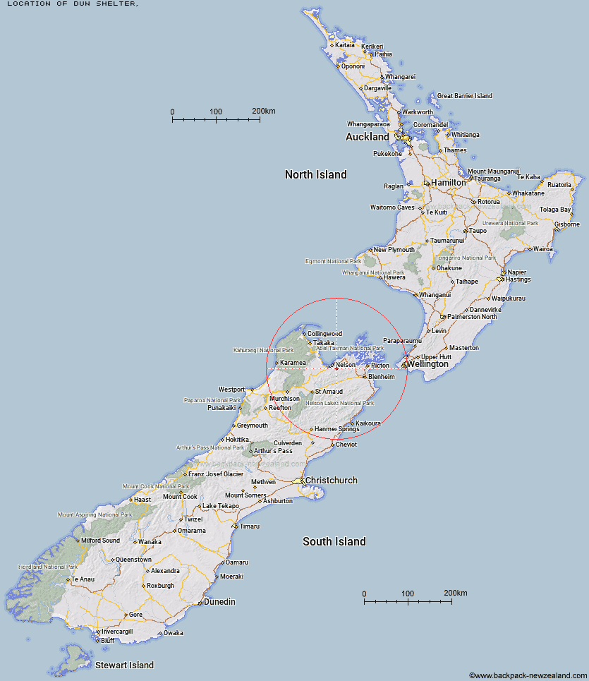
Topo Map showing location of Dun Shelter
This information is sourced from DoC, LINZ and Openstreetmap. Some of the hut photos are mine and the rest are from DoC. I will be adding an upload feature soon so people can photos of .Dun Shelter.
Latitude: -41.3438904012
Longitude: 173.372849562
Location:
Type of Hut:
Map: Topo Map | Road Map
Does this hut still exist? Have any more information? Contact
Latitude: -41.3438904012
Longitude: 173.372849562
Location:
Type of Hut:
Map: Topo Map | Road Map
Does this hut still exist? Have any more information? Contact
Scroll down to see a topographical map and road map showing the location of Dun Shelter
[ A ] [ B ] [ C ] [ D ] [ E ] [ F ] [ G ] [ H ] [ I ] [ J ] [ K ] [ L ] [ M ] [ N ] [ O ] [ P ] [ Q ] [ R ] [ S ] [ T ] [ U ] [ V ] [ W ] [ Y ] [ Z ]
Closest 20 Huts to Dun Shelter
These are as the crow fliesRocks Hut 2.98km Third House Shelter 4.52km Middy Creek Hut 4.78km Captain Creek Hut 6.18km Roebuck Hut 7.69km Browning Hut 11.16km Mt Fell Hut 13.12km Hacket Hut 13.28km Richmond Saddle Hut 14.49km Fishtail Hut 14.96km Starveall Hut 16.74km Slaty Hut 17.6km Devils Creek Hut 18.84km Old Man Hut 21.82km Mt Rintoul Hut 23.27km Fosters Hut 24.35km Lake Chalice Hut 25.28km Mt Sunday Bivouac 26.54km Chimney 27.84km Mid Goulter Hut 28.7km Tarn Hut 28.74km Mid Wairoa Hut 32.8km Lower Goulter Hut 34.08km Top Wairoa Hut 38.66km Hunters Hut 41.92km Hidden Hut 44.48km Turkeys Nest Bivouac 45.04km Porters Creek Hut 46.52km McNaughts Hut 46.54km Ramshead Hut 47.06km Gosling Hut 47.3km Dillon Hut 50.04km Beehive Hut 50.05km Anchorage Hut 50.48km Boulder Forks Hut 50.58km Lake Alexander Hut 51.11km Omaka Bivouac 51.66km Holyoake Clearing Shelter 52.43km Tinpot Hut 53.27km Red Hills Hut 53.49km