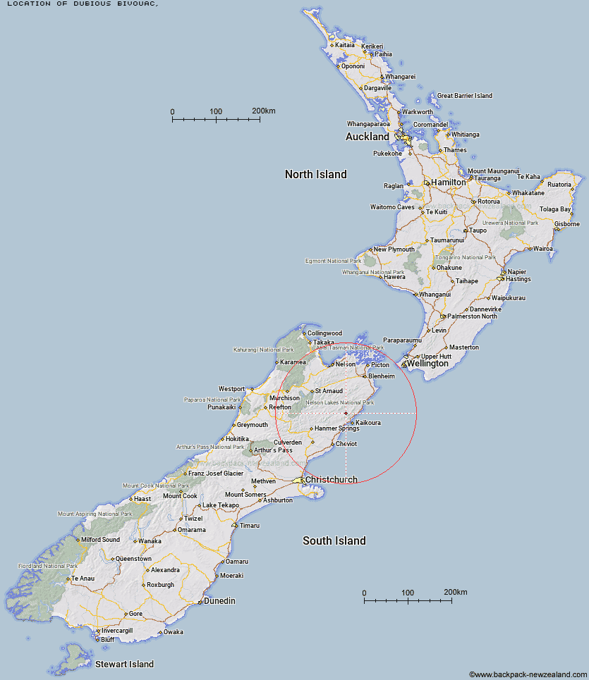
Topo Map showing location of Dubious Bivouac
This information is sourced from DoC, LINZ and Openstreetmap. Some of the hut photos are mine and the rest are from DoC. I will be adding an upload feature soon so people can photos of .Dubious Bivouac.
Latitude: -42.2169299664
Longitude: 173.56261722
Location:
Type of Hut:
Map: Topo Map | Road Map
Does this hut still exist? Have any more information? Contact
Latitude: -42.2169299664
Longitude: 173.56261722
Location:
Type of Hut:
Map: Topo Map | Road Map
Does this hut still exist? Have any more information? Contact
Scroll down to see a topographical map and road map showing the location of Dubious Bivouac
[ A ] [ B ] [ C ] [ D ] [ E ] [ F ] [ G ] [ H ] [ I ] [ J ] [ K ] [ L ] [ M ] [ N ] [ O ] [ P ] [ Q ] [ R ] [ S ] [ T ] [ U ] [ V ] [ W ] [ Y ] [ Z ]
Closest 20 Huts to Dubious Bivouac
These are as the crow fliesLimestone Hut 5.03km Fidgit Bivouac 7.12km Goose Flat Hut 7.38km Kowhai Hut 9.44km Barratts Bivouac 9.48km Barratts Hut 9.51km Hapuku Hut 9.58km Mt Fyffe Hut 12.18km Warden Hut 12.31km Tent Poles Hut 12.98km Black Spur Historic Hut 13km Seymour Hut 13.51km Haycocks Bivouac 15.49km Ravine Hut 16.81km Kahutara Bivouac 17.33km Jam Hut 18.45km Lake McRae Hut 20.77km Alfred Hut 21.31km Hornby Bivvy 22.56km Snowgrass Hut 23.43km Palmer Hut 26.17km Old Middlehurst Hut 27.92km Palmer Bivouac 28.48km Dee Hut 28.67km Stone Jug Hut 28.88km Gibson Hut 31.12km Munroe Hut 33.82km Mead Hut 33.89km Cabbage Tree Hut 34.24km Carters Yards Hut 34.71km Burnt Yards Hut 35.47km Half Moon Hut 35.51km Junction Hut 35.87km Cam Hut 36.14km Cloudy Hut 37.06km Acheron Hut 38.25km Saxton Hut 38.3km Team Hut 39.13km Flynns 39.68km Guide Hut 40.69km