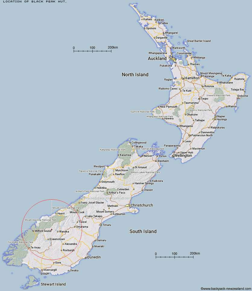
Topo Map showing location of Black Peak Hut
This information is sourced from DoC, LINZ and Openstreetmap. Some of the hut photos are mine and the rest are from DoC. I will be adding an upload feature soon so people can photos of .Black Peak Hut.
Latitude: -44.5980990905
Longitude: 168.827138165
Location:
Type of Hut:
Map: Topo Map | Road Map
Does this hut still exist? Have any more information? Contact
Latitude: -44.5980990905
Longitude: 168.827138165
Location:
Type of Hut:
Map: Topo Map | Road Map
Does this hut still exist? Have any more information? Contact
Scroll down to see a topographical map and road map showing the location of Black Peak Hut
[ A ] [ B ] [ C ] [ D ] [ E ] [ F ] [ G ] [ H ] [ I ] [ J ] [ K ] [ L ] [ M ] [ N ] [ O ] [ P ] [ Q ] [ R ] [ S ] [ T ] [ U ] [ V ] [ W ] [ Y ] [ Z ]
Closest 20 Huts to Black Peak Hut
These are as the crow fliesSaddle Hut 6.14km Polnoon Hut 7.82km Raspberry Creek Shelter 11.37km Cabin Hut 11.48km Shiel Burn Hut 11.71km Tummel Burn Hut 12.89km Hundred Mile Hut 13.31km Sixteen Mile Huts 16.25km Lochnagar Hut 16.42km Cascade Hut 17.19km Aspiring Hut 18.87km Fern Burn Hut 20.08km Rock of Ages Bivouac 20.9km Highland Creek Hut 21.57km French Ridge Hut 21.6km Ballarat Hut - Flood Burn 21.68km Liverpool Hut 22.56km Scotts Rock Bivouac 23.05km Roses Hut 23.12km Dart Hut 23.21km Bullendale Hut 24.32km Shelter Rock Hut 25.58km Dynamo Hut 26.07km Wanaka Faces Hut 26.16km Archie's Hut - Copper Creek 26.65km Arawhata Rock Bivouac 26.88km Peats Hut 27.12km Colin Todd Hut 27.24km Twenty Five Mile Hut 28.63km Crystal Hut 28.78km Earnslaw Hut 30.16km Sainsburys Huts 30.5km Eight Mile Hut 32.24km Albert Burn Hut 32.92km Esquilant Bivvy Hut 33.31km Stoney Creek Hut 33.68km Green Gate Huts 35.11km Daleys Flat Hut 36.29km Top Forks Hut 36.36km McIntosh Hut 39.15km