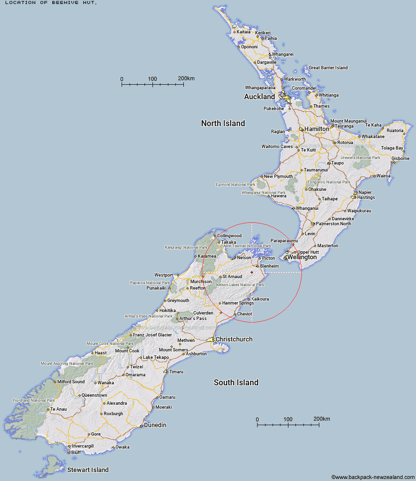
Topo Map showing location of Beehive Hut
This information is sourced from DoC, LINZ and Openstreetmap. Some of the hut photos are mine and the rest are from DoC. I will be adding an upload feature soon so people can photos of .Beehive Hut.
Latitude: -41.6733234933
Longitude: 173.782364506
Location:
Type of Hut:
Map: Topo Map | Road Map
Does this hut still exist? Have any more information? Contact
Latitude: -41.6733234933
Longitude: 173.782364506
Location:
Type of Hut:
Map: Topo Map | Road Map
Does this hut still exist? Have any more information? Contact
Scroll down to see a topographical map and road map showing the location of Beehive Hut
[ A ] [ B ] [ C ] [ D ] [ E ] [ F ] [ G ] [ H ] [ I ] [ J ] [ K ] [ L ] [ M ] [ N ] [ O ] [ P ] [ Q ] [ R ] [ S ] [ T ] [ U ] [ V ] [ W ] [ Y ] [ Z ]
Closest 20 Huts to Beehive Hut
These are as the crow fliesRamshead Hut 3.07km Omaka Bivouac 4.92km Black Birch Bivouac 5.88km Dillon Hut 6.07km McNaughts Hut 6.6km Tinpot Hut 8.47km Lake Alexander Hut 13.1km Penk Hut 15.05km Chimney 24.69km Flynns 25.03km Cam Hut 27km Beechs Hut 27.43km Swale Hut 27.49km Fosters Hut 29.42km Isolation Hut 30.24km Zoo Hut 30.27km Mt Sunday Bivouac 30.61km Whernside Hut 32.45km Mead Hut 33.25km Devils Creek Hut 33.32km Top Whare 34.95km Fishtail Hut 35.1km Cabbage Tree Hut 35.93km Dee Hut 36.36km Gibson Hut 37.25km Gosling Hut 38.02km Mt Fell Hut 38.87km Turkeys Nest Bivouac 39.1km Old Middlehurst Hut 39.14km Richmond Saddle Hut 39.92km Lake Chalice Hut 40.17km Hidden Hut 41.06km Snowgrass Hut 42.23km Blue Mountain Hut 43.46km Hornby Bivvy 43.9km Captain Creek Hut 44.08km Old Man Hut 45.62km Middy Creek Hut 45.67km Boulder Forks Hut 45.7km Roebuck Hut 45.78km