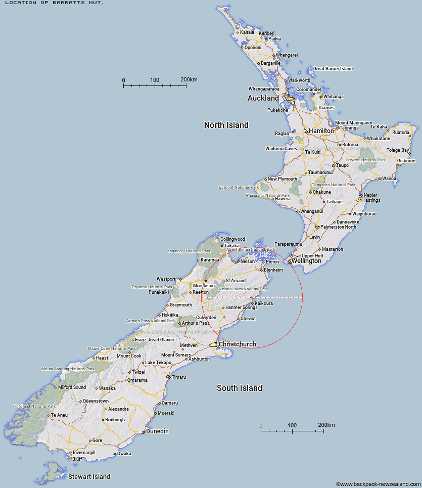
Topo Map showing location of Barratts Hut
This information is sourced from DoC, LINZ and Openstreetmap. Some of the hut photos are mine and the rest are from DoC. I will be adding an upload feature soon so people can photos of .Barratts Hut.
Latitude: -42.2445924964
Longitude: 173.671888239
Location:
Type of Hut:
Map: Topo Map | Road Map
Does this hut still exist? Have any more information? Contact
Latitude: -42.2445924964
Longitude: 173.671888239
Location:
Type of Hut:
Map: Topo Map | Road Map
Does this hut still exist? Have any more information? Contact
Scroll down to see a topographical map and road map showing the location of Barratts Hut
[ A ] [ B ] [ C ] [ D ] [ E ] [ F ] [ G ] [ H ] [ I ] [ J ] [ K ] [ L ] [ M ] [ N ] [ O ] [ P ] [ Q ] [ R ] [ S ] [ T ] [ U ] [ V ] [ W ] [ Y ] [ Z ]
Closest 20 Huts to Barratts Hut
These are as the crow fliesBarratts Bivouac 0.11km Hapuku Hut 3.53km Fidgit Bivouac 8.3km Kowhai Hut 8.7km Dubious Bivouac 9.51km Mt Fyffe Hut 10.94km Limestone Hut 12.94km Haycocks Bivouac 13.85km Goose Flat Hut 14.39km Jam Hut 16.96km Ravine Hut 18.35km Tent Poles Hut 19.57km Warden Hut 19.58km Black Spur Historic Hut 20.5km Hornby Bivvy 20.67km Snowgrass Hut 22.15km Seymour Hut 22.64km Kahutara Bivouac 23.44km Dee Hut 28km Alfred Hut 28.05km Gibson Hut 28.81km Lake McRae Hut 30.18km Cabbage Tree Hut 31.51km Mead Hut 32.31km Old Middlehurst Hut 33.16km Stone Jug Hut 33.53km Palmer Hut 34.23km Palmer Bivouac 35.66km Cam Hut 37.47km Swale Hut 39.29km Whernside Hut 39.3km Flynns 39.5km Beechs Hut 39.89km Zoo Hut 41.49km Munroe Hut 42.8km Burnt Yards Hut 43.73km Half Moon Hut 43.99km Cloudy Hut 44.03km Carters Yards Hut 44.11km Junction Hut 45.1km