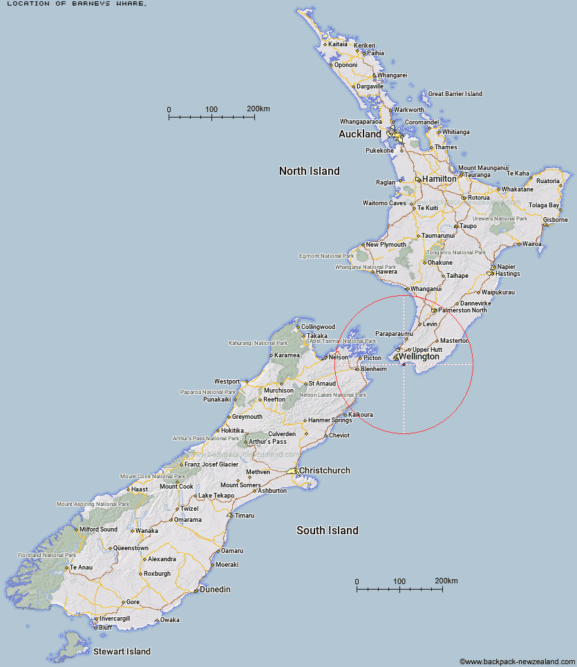
Topo Map showing location of Barneys Whare
This information is sourced from DoC, LINZ and Openstreetmap. Some of the hut photos are mine and the rest are from DoC. I will be adding an upload feature soon so people can photos of .Barneys Whare.
Latitude: -41.4181512973
Longitude: 174.943824384
Location:
Type of Hut:
Map: Topo Map | Road Map
Does this hut still exist? Have any more information? Contact
Latitude: -41.4181512973
Longitude: 174.943824384
Location:
Type of Hut:
Map: Topo Map | Road Map
Does this hut still exist? Have any more information? Contact
Scroll down to see a topographical map and road map showing the location of Barneys Whare
[ A ] [ B ] [ C ] [ D ] [ E ] [ F ] [ G ] [ H ] [ I ] [ J ] [ K ] [ L ] [ M ] [ N ] [ O ] [ P ] [ Q ] [ R ] [ S ] [ T ] [ U ] [ V ] [ W ] [ Y ] [ Z ]
Closest 20 Huts to Barneys Whare
These are as the crow fliesBarneys Whare 0km Paua Hut 7.91km Boar Inn 8.34km Waerenga Hut 8.83km Jans Hut 9.11km Haurangi Hut 10.92km Papatahi Hut 12.26km Wharepapa Hut 15.12km Waiorongomai Hut 22.52km Washpool Hut 29.78km Tauanui Hut 30.32km Pararaki Hut 31.43km Kawakawa Hut 31.7km Mangatoetoe Hut 32.11km Sutherlands Hut 32.37km Smith Creek Shelter 49.18km Eastern Hutt Hut 52km Renata Hut 53.56km Elder Hut 55.19km Tutuwai Hut 55.45km Alpha Hut 55.78km Waiotauru Hut 56.98km Kapakapanui Hut 58.48km Cone Hut 58.49km Waiohine Shelter 59.02km Kime Hut 59.55km Field Hut 62.48km Neill Forks Hut 64.06km Penn Creek Hut 64.2km Sayer Hut 64.59km Maungahuka Hut 65.04km Totara Flats Hut 66.27km Aokaparangi Hut 68.12km Mid Waiohine Hut 70.74km Mountain House Shelter 71.11km Powell Hut 71.65km Waitewaewae Hut 72km Anderson Memorial Hut 72.34km Atiwhakatu Hut 74.6km Jumbo Hut 75.2km