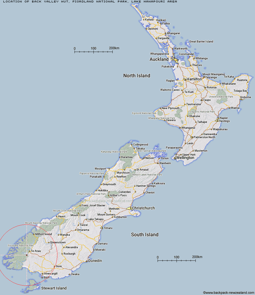
Topo Map showing location of Back Valley Hut
This information is sourced from DoC, LINZ and Openstreetmap. Some of the hut photos are mine and the rest are from DoC. I will be adding an upload feature soon so people can photos of .Back Valley Hut.
Basic info: basic four-bunk hut in eastern Fiordland.
Latitude: -45.6004594675
Longitude: 167.581525816
Location: Fiordland National Park, Lake Manapouri area
Area: Fiordland
Type of Hut: Basic/bivvies
Tracks: Stockyard Cove Track
Map: CE07 Topo Map | Road Map
Does this hut still exist? Have any more information? Contact

Image: DoC
Scroll down to see a topographical map and road map showing the location of Back Valley Hut
[ A ] [ B ] [ C ] [ D ] [ E ] [ F ] [ G ] [ H ] [ I ] [ J ] [ K ] [ L ] [ M ] [ N ] [ O ] [ P ] [ Q ] [ R ] [ S ] [ T ] [ U ] [ V ] [ W ] [ Y ] [ Z ]
Closest 20 Huts to Back Valley Hut
These are as the crow fliesHope Arm Hut 3.34km North Borland Hut 12.05km Shallow Bay Hut 12.15km Moturau Hut 13.4km Cheviot Downs Hut 16.26km Percy Shelter 20.11km Whare Creek Hut 20.46km Borland Bivouac 22.52km Brod Bay Shelter and Campsite 22.94km Iris Burn Hut 23.09km Redcliff Hut 23.31km Forest Burn Shelter 23.47km Freeman Burn Hut 23.67km Luxmore Hut 24.11km Hanging Valley Shelter 24.46km Green Lake Hut 24.94km Spence Hut 25.9km Upper Princhester Hut 25.97km West Arm Hut 26.14km Telford Hut 26.59km Upper Wairaki Hut 28.21km Aparima Forks Hut 28.21km Lower Princhester Hut 28.79km Clark Hut - A Frame 28.86km Historic Clark Hut 28.91km Rodger Inlet Huts 30.53km Monowai Hut 31.64km Upper Spey Hut 32.62km Becketts Hut 33.33km Lower Wairaki Hut 34.27km Aparima Huts 34.57km Rock Hut 35.43km Eel Creek Hut 35.68km Barcoo Hut 35.82km Lake Roe Hut 35.92km Kintail Hut 36.26km Halfway Hut 38.4km Loch Maree Hut 41.19km Hauroko Burn Hut 42.44km Caroline Hut 44.4km