Map showing location of Yellow Point


LINZ description: Feature shown on: NZMS260 Q26 Pt P26
Latitude: -40.964167
Longitude: 174.088417
Northing: 5464650.4
Easting: 1691587.9
Land District: Marlborough
Feat Type: Point
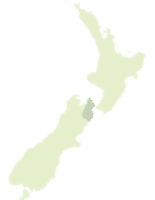

Scroll down to see a more detailed road map and below that a topographical map showing the location of Yellow Point. The road map has been supplied by openstreetmap and the topographical map of Yellow Point has been supplied by Land Information New Zealand (LINZ).

Yes you can use the top static map for you school/university project or personal website with a link back. Contact me for any commercial use.
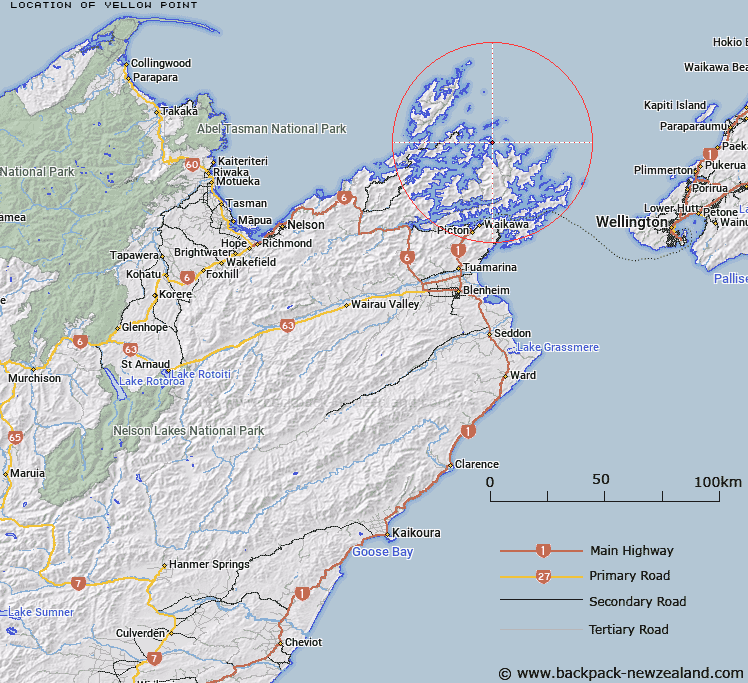
Yellow Point Map New Zealand


New Zealand places in our database
[ A ] [ B ] [ C ] [ D ] [ E ] [ F ] [ G ] [ H ] [ I ] [ J ] [ K ] [ L ] [ M ] [ N ] [ O ] [ P ] [ Q ] [ R ] [ S ] [ T ] [ U ] [ V ] [ W ] [ X ] [ Y ] [ Z ]


Closest 20 Points to Yellow Point

Culdaff Point ( 2.82km )   Goat Point ( 3.03km )   Tawaroa Point ( 3.54km )   Paarekeke Point ( 3.65km )   Alligator Head ( 5.61km )   Kaitira (East Entry Point) ( 6.26km )   Blow Hole Point ( 6.98km )   Mataka Point ( 7.34km )   Te Akaroa (West Entry Point) ( 7.88km )   Post Office Point ( 8.06km )   Paparoa ( 8.12km )   Harding Point ( 8.97km )   Maori Point ( 9.5km )   Motupuha ( 9.85km )   Danger Point ( 10.17km )   Pipitawai ( 10.42km )   Cannon Point ( 10.66km )   Tapipi ( 10.75km )   Papatua ( 10.82km )   Cape Horn ( 10.83km )   Burnt Point ( 11.12km )   Boat Rock Point ( 11.89km )   Taratara ( 11.9km )   Akina ( 12.12km )   Rat Point ( 12.15km )   Cape Lambert ( 12.25km )   Te Puraka Point ( 12.41km )   Tawhinu Point ( 12.41km )   Te Puiaka Point ( 12.41km )   Clay Point ( 12.46km )   Hunia ( 12.52km )   The Reef ( 12.75km )   Reef Point (Kaiaua) ( 13.55km )   Te Ekeatekonganui (Reef Point) ( 13.89km )   Whakamawahi Point ( 14.08km )   Te Kaiangapipi ( 14.26km )   Pool Head ( 14.59km )   Treble Tree Point (Otuhoto) ( 14.69km )   Black Head ( 14.77km )   Anchor Point ( 15.17km )