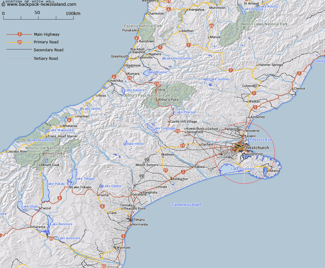
Map showing location of Witch Hill


LINZ description: A hill on the Summit Road, east of Trig AA and north east of Giants Causeway.
Latitude: -43.589188
Longitude: 172.668702
Northing: 5173700.1
Easting: 1573255.9
Land District: Canterbury
Feat Type: Hill


Scroll down to see a more detailed road map and below that a topographical map showing the location of Witch Hill. The road map has been supplied by openstreetmap and the topographical map of Witch Hill has been supplied by Land Information New Zealand (LINZ).

Yes you can use the top static map for you school/university project or personal website with a link back. Contact me for any commercial use.

Witch Hill Map New Zealand


New Zealand places in our database
[ A ] [ B ] [ C ] [ D ] [ E ] [ F ] [ G ] [ H ] [ I ] [ J ] [ K ] [ L ] [ M ] [ N ] [ O ] [ P ] [ Q ] [ R ] [ S ] [ T ] [ U ] [ V ] [ W ] [ X ] [ Y ] [ Z ]


Closest 20 Hills to Witch Hill

Mount Vernon ( 0.56km )   Sugarloaf ( 2.13km )   The Tors ( 2.34km )   Marleys Hill ( 3.68km )   Mount Cavendish ( 3.87km )   Tauhinukorokio/Mount Pleasant ( 4.72km )   Tauhinukorokio ( 4.72km )   Windsor Castle ( 6.3km )   Cass Peak ( 6.37km )   Coopers Knob ( 8.77km )   Mount Evans ( 10.95km )   Mount Bradley ( 12.24km )   Mount Herbert ( 12.59km )   Mount Herbert/Te Ahu Patiki ( 12.59km )   Herbert Peak ( 12.59km )   The Monument ( 12.88km )   Wild Cattle Hill ( 17.58km )   Mount Fitzgerald ( 18.79km )   Holmes ( 19.42km )   High Bare Peak ( 20.83km )   Mount Sinclair ( 20.93km )   Zig Zag ( 21.56km )   Haytor ( 22.68km )   Pigeon Bay Peak ( 24.86km )   Graeme ( 25.15km )   French Hill ( 25.33km )   Pearce ( 25.37km )   Te Oka ( 26.6km )   Duvauchelle Peak ( 28.08km )   Saddle Hill ( 28.16km )   View Hill ( 28.8km )   Devils Gap ( 28.9km )   Rocky Peak ( 29.12km )   West Peak ( 30.71km )   Okains Peak ( 31.03km )   Carews Peak ( 31.42km )   Takamatua Hill ( 32.22km )   Lavericks ( 33.03km )   Bossu ( 33.85km )   Kaik Hill ( 34.67km )