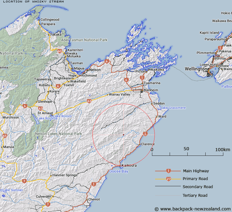
Map showing location of Whisky Stream


LINZ description: Clarence River Tributary. Rises under the Inland Kaikoura Range in between Branch Stream and Trolove Stream and joins Clarence River north west of Gibraltar.
Latitude: -42.041403
Longitude: 173.727923
Northing: 5345370.5
Easting: 1660245.9
Land District: Marlborough
Feat Type: Stream


Scroll down to see a more detailed road map and below that a topographical map showing the location of Whisky Stream. The road map has been supplied by openstreetmap and the topographical map of Whisky Stream has been supplied by Land Information New Zealand (LINZ).

Yes you can use the top static map for you school/university project or personal website with a link back. Contact me for any commercial use.

Whisky Stream Map New Zealand


New Zealand places in our database
[ A ] [ B ] [ C ] [ D ] [ E ] [ F ] [ G ] [ H ] [ I ] [ J ] [ K ] [ L ] [ M ] [ N ] [ O ] [ P ] [ Q ] [ R ] [ S ] [ T ] [ U ] [ V ] [ W ] [ X ] [ Y ] [ Z ]


Closest 20 Streams to Whisky Stream

Trolove Stream ( 1.68km )   Snowgrass Stream ( 2.2km )   Branch Stream ( 3.28km )   Bob Stream ( 3.85km )   Dee Stream ( 4.48km )   Crib Stream ( 5.25km )   Dart Stream ( 5.53km )   Ravine Stream ( 7km )   Doddemeade Stream ( 7.03km )   Rat Stream ( 7.57km )   Gibson Stream ( 7.59km )   Limburn Stream ( 7.87km )   McLean Stream ( 7.91km )   George Stream ( 8.65km )   Murderers Stream ( 8.71km )   Muzzle Stream ( 9.11km )   Mead Stream ( 9.24km )   Staircase Stream ( 9.4km )   Williams Stream ( 9.45km )   Gut Stream ( 10.06km )   Boundary Stream ( 10.62km )   Jam Stream ( 10.93km )   Big Stream ( 11.07km )   Percy Stream ( 11.19km )   Ned Stream ( 12.55km )   Chimney Stream ( 12.55km )   Miller Stream ( 12.89km )   Trail Stream ( 13.05km )   Ouse Stream ( 13.31km )   Fidget Stream ( 13.68km )   Shearwater Stream ( 13.9km )   Digger Stream ( 14.03km )   Priams Stream ( 14.12km )   Bluff Stream ( 14.31km )   Totara Stream ( 14.4km )   Cutterig Stream ( 14.59km )   Rika Stream ( 15.12km )   Snowy Stream ( 15.13km )   Wharekiri Stream ( 15.35km )   Hodder River ( 15.36km )