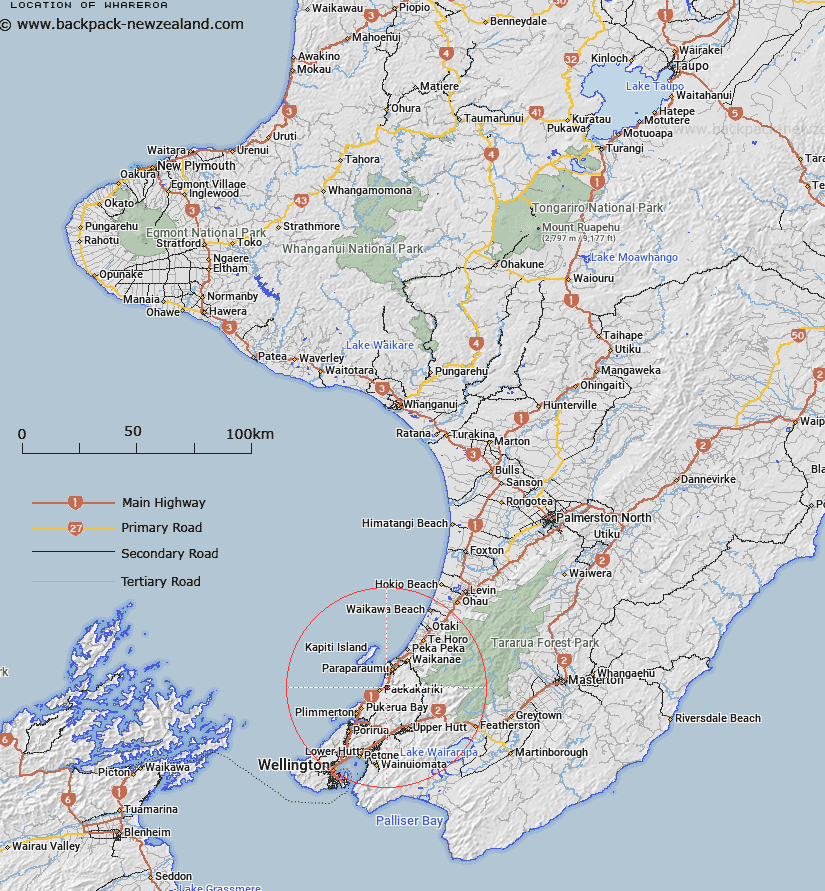
Map showing location of Whareroa
LINZ description: Trig. Station situated East of Highway 1 South of McKays Crossing. (Geodetic Code AJBW). Paekakariki Survey District.
Latitude: -40.971822
Longitude: 174.982927
Northing: 5462477.5
Easting: 1766842.9
Land District: Wellington
Feat Type: Trig Station
Latitude: -40.971822
Longitude: 174.982927
Northing: 5462477.5
Easting: 1766842.9
Land District: Wellington
Feat Type: Trig Station

Scroll down to see a more detailed road map and below that a topographical map showing the location of Whareroa. The road map has been supplied by openstreetmap and the topographical map of Whareroa has been supplied by Land Information New Zealand (LINZ).
Yes you can use the top static map for you school/university project or personal website with a link back. Contact me for any commercial use.
[ A ] [ B ] [ C ] [ D ] [ E ] [ F ] [ G ] [ H ] [ I ] [ J ] [ K ] [ L ] [ M ] [ N ] [ O ] [ P ] [ Q ] [ R ] [ S ] [ T ] [ U ] [ V ] [ W ] [ X ] [ Y ] [ Z ]