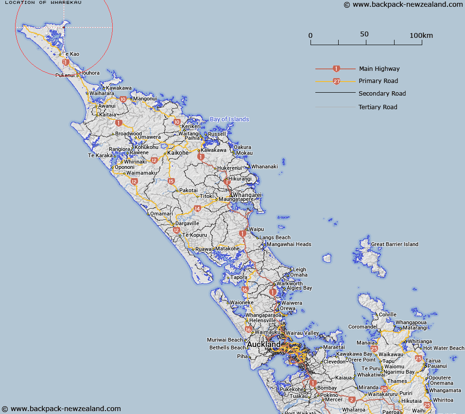
Map showing location of Wharekau
LINZ description: Old pa site on headland between Whareana Bay and Waikuku Beach. Parengarenga Survey District.
Latitude: -34.447352
Longitude: 173.004626
Northing: 6188240.7
Easting: 1600424.9
Land District: North Auckland
Feat Type: Locality
Latitude: -34.447352
Longitude: 173.004626
Northing: 6188240.7
Easting: 1600424.9
Land District: North Auckland
Feat Type: Locality

Scroll down to see a more detailed road map and below that a topographical map showing the location of Wharekau. The road map has been supplied by openstreetmap and the topographical map of Wharekau has been supplied by Land Information New Zealand (LINZ).
Yes you can use the top static map for you school/university project or personal website with a link back. Contact me for any commercial use.
[ A ] [ B ] [ C ] [ D ] [ E ] [ F ] [ G ] [ H ] [ I ] [ J ] [ K ] [ L ] [ M ] [ N ] [ O ] [ P ] [ Q ] [ R ] [ S ] [ T ] [ U ] [ V ] [ W ] [ X ] [ Y ] [ Z ]