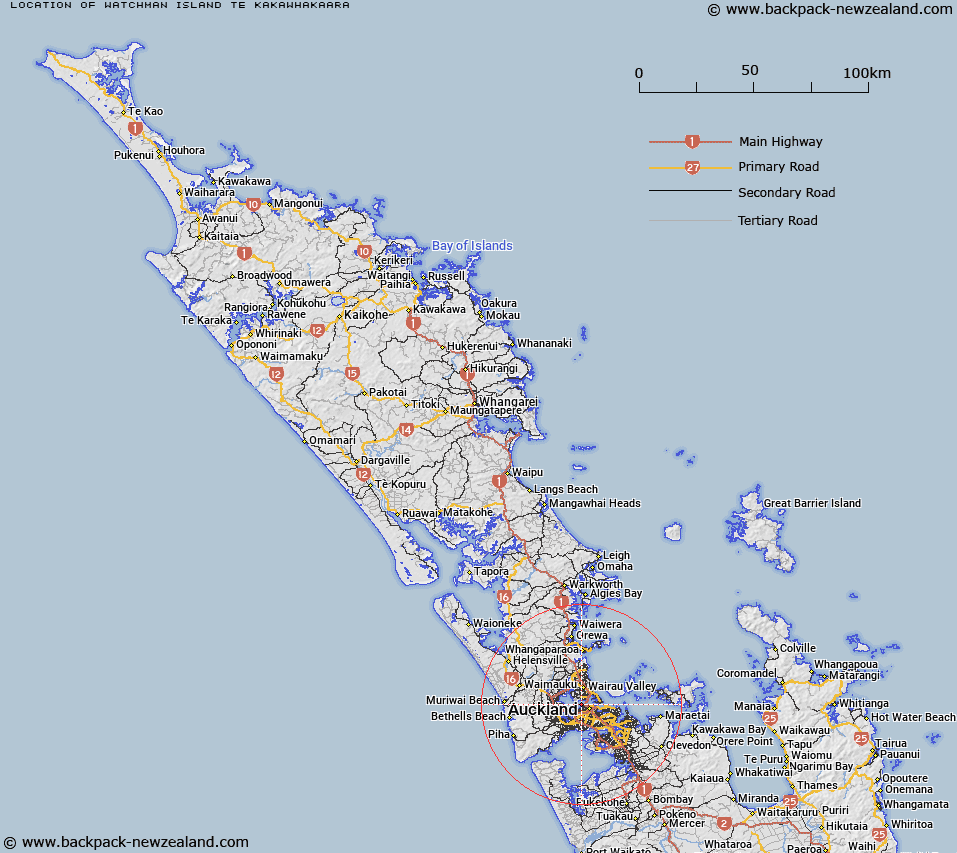
Map showing location of Watchman Island / Te Kākāwhakaara


LINZ description: A small island in Waitemata Harbour approximately 1km west of the southern end of Auckland Harbour Bridge. Feature shown on: NZMS260 R11 Edition 2 1994; NZTopo50-BA31 545220.
Latitude: -36.834934
Longitude: 174.731938
Northing: 5922039.1
Easting: 1754440.1
Land District: North Auckland
Feat Type: Island


Scroll down to see a more detailed road map and below that a topographical map showing the location of Watchman Island / Te Kākāwhakaara. The road map has been supplied by openstreetmap and the topographical map of Watchman Island / Te Kākāwhakaara has been supplied by Land Information New Zealand (LINZ).

Yes you can use the top static map for you school/university project or personal website with a link back. Contact me for any commercial use.

Watchman Island / Te Kākāwhakaara Map New Zealand


New Zealand places in our database
[ A ] [ B ] [ C ] [ D ] [ E ] [ F ] [ G ] [ H ] [ I ] [ J ] [ K ] [ L ] [ M ] [ N ] [ O ] [ P ] [ Q ] [ R ] [ S ] [ T ] [ U ] [ V ] [ W ] [ X ] [ Y ] [ Z ]


Closest 20 Islands to Watchman Island / Te Kākāwhakaara

Watchman Island ( 0km )   Watchman Island / Te K?k?whakaara ( 0km )   Traherne Island ( 6.19km )   Pollen Island ( 6.3km )   Motum?nawa / Pollen Island ( 6.3km )   Bean Rocks ( 8.8km )   Herald Island ( 9.2km )   Pine Island ( 9.2km )   Rangitoto Island ( 11.89km )   Te Rangi-i-Totongia-a-Tamatekapua ( 11.89km )   Ng? Tuaitara-a-Taikehu ( 11.89km )   Ngarango Otainui Island ( 13.96km )   Te Motu-a-Hiaroa ( 14.27km )   Puketutu Island ( 14.27km )   Browns Island (Motukorea) ( 14.48km )   The Tor ( 14.86km )   Emu Rock ( 16.87km )   Rock Island ( 18.2km )   Motuihe Island / Te Motu-a-Ihenga ( 19.34km )   Motuihe Island ( 19.34km )   Motuihi Island ( 19.34km )   Motutapu Island ( 19.89km )   Te Motu-tapu-a-Taikehu ( 19.89km )   Te Motu-tapu-o-Tinirau ( 19.89km )   Wiroa Island ( 21.41km )   Papakohatu Island (Crusoe Island) ( 21.57km )   Awash Rock ( 21.99km )   South Island ( 22.2km )   Three Sisters ( 22.25km )   Motukaraka Island ( 22.49km )   Sandy Bay Island ( 22.85km )   Woody Island ( 22.97km )   Motukaha Island ( 23.01km )   Wade Island ( 23.03km )   Kotanui Island (Frenchmans Cap) ( 23.11km )   Rakino Island ( 23.36km )   Orarapa Island (The Haystack) ( 24.97km )   Keyhole Rock ( 26.04km )   The Noisies ( 26.23km )   The Noises ( 26.23km )