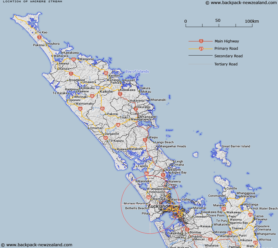
Map showing location of Wairere Stream


LINZ description: Tributary of Mororoa Stream south of Roe Stream.
Latitude: -36.833264
Longitude: 174.481394
Northing: 5922600
Easting: 1732100
Land District: North Auckland
Feat Type: Stream


Scroll down to see a more detailed road map and below that a topographical map showing the location of Wairere Stream. The road map has been supplied by openstreetmap and the topographical map of Wairere Stream has been supplied by Land Information New Zealand (LINZ).

Yes you can use the top static map for you school/university project or personal website with a link back. Contact me for any commercial use.

Wairere Stream Map New Zealand


New Zealand places in our database
[ A ] [ B ] [ C ] [ D ] [ E ] [ F ] [ G ] [ H ] [ I ] [ J ] [ K ] [ L ] [ M ] [ N ] [ O ] [ P ] [ Q ] [ R ] [ S ] [ T ] [ U ] [ V ] [ W ] [ X ] [ Y ] [ Z ]


Closest 20 Streams to Wairere Stream

Thorpe Stream ( 0.87km )   Houheria Stream ( 0.89km )   Roe Stream ( 1.26km )   Mokoroa Stream ( 1.63km )   Tie Up Stream ( 2.61km )   Waitakerei River ( 4km )   Waitakere River ( 4km )   Brissenden Stream ( 4.15km )   Raurataua Stream ( 4.22km )   Mosac Stream ( 4.32km )   Mosig Stream ( 4.32km )   Waitupu Stream ( 4.69km )   Koropotiki Stream ( 4.72km )   Te Aute Stream ( 4.98km )   Wai-o-Parekura Stream ( 4.98km )   Waimauku Stream ( 4.99km )   Okiritoto Stream ( 5.18km )   Jonkers Stream ( 5.19km )   Mangatoetoe Stream ( 5.32km )   Wipene Stream ( 5.75km )   King Stream ( 6.01km )   Waiti Stream ( 6.06km )   Maioha Stream ( 6.09km )   McEntee Stream ( 6.25km )   Inkster Stream ( 6.35km )   Le Gos Stream ( 6.4km )   Le Gros Stream ( 6.4km )   Matariki Stream ( 6.4km )   Wainamu Stream ( 6.42km )   Rackstraw Stream ( 6.46km )   Olaf Stream ( 6.57km )   Bacon Stream ( 6.63km )   John Stream ( 6.69km )   Huranui Stream ( 6.76km )   Plum Pudding Stream ( 6.86km )   Wheeler Stream ( 7.09km )   Pakinui Stream ( 7.2km )   Taimana Stream ( 7.3km )   Massich Stream ( 7.57km )   Ragusa Stream ( 7.7km )