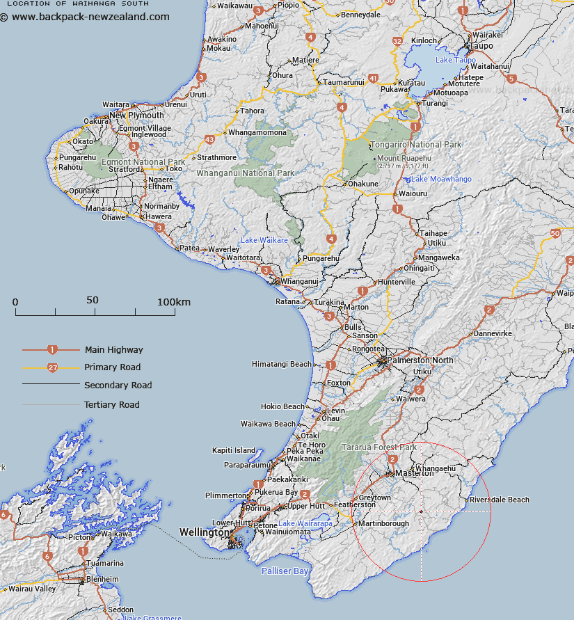
Map showing location of Waimanga South
LINZ description: Trig 3.7 km North of Te Wharau (geodetic code: B0U9). Spot height 296 at BQ35 369 409. Wainuioru Survey District.
Latitude: -41.148866
Longitude: 175.822681
Northing: 5440876.2
Easting: 1836869.9
Land District: Wellington
Feat Type: Trig Station
Latitude: -41.148866
Longitude: 175.822681
Northing: 5440876.2
Easting: 1836869.9
Land District: Wellington
Feat Type: Trig Station

Scroll down to see a more detailed road map and below that a topographical map showing the location of Waimanga South. The road map has been supplied by openstreetmap and the topographical map of Waimanga South has been supplied by Land Information New Zealand (LINZ).
Yes you can use the top static map for you school/university project or personal website with a link back. Contact me for any commercial use.
[ A ] [ B ] [ C ] [ D ] [ E ] [ F ] [ G ] [ H ] [ I ] [ J ] [ K ] [ L ] [ M ] [ N ] [ O ] [ P ] [ Q ] [ R ] [ S ] [ T ] [ U ] [ V ] [ W ] [ X ] [ Y ] [ Z ]