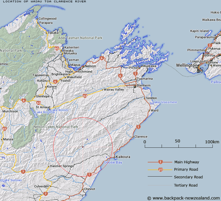
Map showing location of Waiau Toa / Clarence River
LINZ description: A river flowing for approximately 200km from its source below Clarence Pass in St James Range, generally southeast, northeast, east, and southeast, to its mouth at the South Pacific Ocean, approximately 33km northeast of Kaikoura. Feature shown on: NZMS260 M30 Edition 1 1989; NZTopo50-BS24 763386 (source) to NZTopo50-BT28 768305 (mouth).
Latitude: -42.281136
Longitude: 173.275728
Northing: 5318972
Easting: 1622734.3
Land District: Marlborough, Canterbury
Feat Type: Stream
Latitude: -42.281136
Longitude: 173.275728
Northing: 5318972
Easting: 1622734.3
Land District: Marlborough, Canterbury
Feat Type: Stream

Scroll down to see a more detailed road map and below that a topographical map showing the location of Waiau Toa / Clarence River. The road map has been supplied by openstreetmap and the topographical map of Waiau Toa / Clarence River has been supplied by Land Information New Zealand (LINZ).
Yes you can use the top static map for you school/university project or personal website with a link back. Contact me for any commercial use.
[ A ] [ B ] [ C ] [ D ] [ E ] [ F ] [ G ] [ H ] [ I ] [ J ] [ K ] [ L ] [ M ] [ N ] [ O ] [ P ] [ Q ] [ R ] [ S ] [ T ] [ U ] [ V ] [ W ] [ X ] [ Y ] [ Z ]