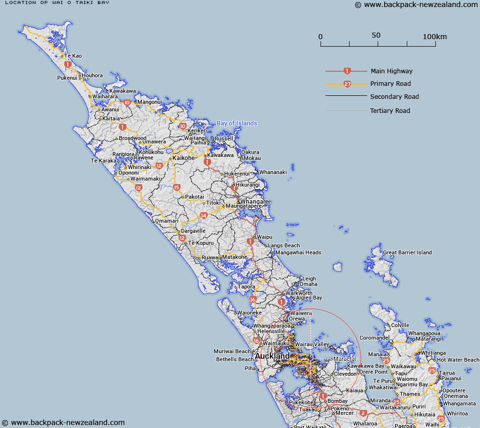
Map showing location of Wai o Taiki Bay


LINZ description: Bay in the Tamaki River estuary.
Latitude: -36.875386
Longitude: 174.877426
Northing: 5917305.9
Easting: 1767326.7
Land District: North Auckland
Feat Type: Bay


Scroll down to see a more detailed road map and below that a topographical map showing the location of Wai o Taiki Bay. The road map has been supplied by openstreetmap and the topographical map of Wai o Taiki Bay has been supplied by Land Information New Zealand (LINZ).

Yes you can use the top static map for you school/university project or personal website with a link back. Contact me for any commercial use.

Wai o Taiki Bay Map New Zealand


New Zealand places in our database
[ A ] [ B ] [ C ] [ D ] [ E ] [ F ] [ G ] [ H ] [ I ] [ J ] [ K ] [ L ] [ M ] [ N ] [ O ] [ P ] [ Q ] [ R ] [ S ] [ T ] [ U ] [ V ] [ W ] [ X ] [ Y ] [ Z ]


Closest 20 Bays to Wai o Taiki Bay

Wai o Taiki Bay ( 0km )   Half Moon Bay ( 2.51km )   Karaka Bay ( 2.95km )   Saint Heliers Bay ( 3.76km )   Ladies Bay ( 3.98km )   Panmure Basin ( 4.39km )   Mellons Bay ( 4.81km )   Mission Bay ( 5.3km )   Orakei Basin ( 5.96km )   Okahu Bay ( 6.44km )   Whakatakataka Bay ( 6.59km )   Cockle Bay ( 7.08km )   Hobson Bay ( 7.64km )   Curlew Bay ( 7.96km )   Torpedo Bay ( 8.05km )   Judges Bay ( 8.38km )   Waihaorangatahi ( 8.81km )   Home ( 8.81km )   Ohinerau Bay ( 8.84km )   Mangere Inlet ( 8.99km )   Sunkist Bay ( 9.77km )   Emu Bay ( 9.78km )   North Bay ( 9.82km )   Takutairaroa ( 9.82km )   Pohutukawa Bay ( 9.88km )   Takutairaroa Bay ( 9.91km )   Coast Guard Bay ( 10.14km )   Stanley Bay ( 10.24km )   Islington Bay ( 10.41km )   Ngataringa Bay ( 10.98km )   View Bay ( 11.1km )   Freemans Bay ( 11.3km )   Shelly Bay ( 11.51km )   Gardiner Gap ( 11.64km )   McKenzie Bay ( 11.67km )   Boulder Bay ( 11.93km )   Hillsborough Bay ( 11.93km )   Saint Marys Bay ( 12.39km )   Shoal Bay ( 12.48km )   Matarahui Bay ( 12.52km )