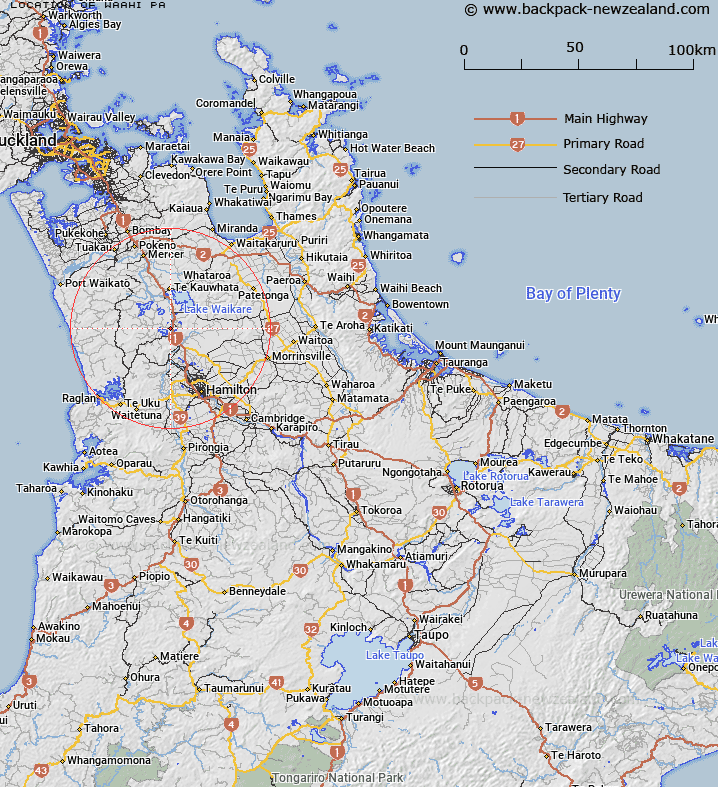
Map showing location of Waahi Pa


LINZ description: Locality on the western side of the Waikato River at Huntly. Instead of "Wahi"
Latitude: -37.549416
Longitude: 175.151982
Northing: 5842000
Easting: 1790100
Land District: South Auckland
Feat Type: Site


Scroll down to see a more detailed road map and below that a topographical map showing the location of Waahi Pa. The road map has been supplied by openstreetmap and the topographical map of Waahi Pa has been supplied by Land Information New Zealand (LINZ).

Yes you can use the top static map for you school/university project or personal website with a link back. Contact me for any commercial use.

Waahi Pa Map New Zealand


New Zealand places in our database
[ A ] [ B ] [ C ] [ D ] [ E ] [ F ] [ G ] [ H ] [ I ] [ J ] [ K ] [ L ] [ M ] [ N ] [ O ] [ P ] [ Q ] [ R ] [ S ] [ T ] [ U ] [ V ] [ W ] [ X ] [ Y ] [ Z ]


Closest 20 Sites to Waahi Pa

Waahi Marae ( 0.56km )   Maurea Marae ( 12.17km )   Turangawaewae Marae ( 13.11km )   Te Wheoro Redoubt ( 13.57km )   Rangiriri Pa ( 13.72km )   Horahora Marae ( 13.94km )   Waikere Marae ( 16.33km )   Tangirau Marae ( 16.77km )   Puketutu Pa ( 19.06km )   Ruakiwi Pa ( 19.84km )   Meremere Redoubt ( 26.67km )   Pokaewhenua Pa ( 26.89km )   Whangamarino Redoubt ( 29.65km )   Koheroa Redoubt ( 32.75km )   Onoke Pa ( 33.99km )   Nukuhau Pa ( 34.79km )   Te Awamarahi Marae ( 36.2km )   Nga Tau E Rua Marae ( 36.72km )   Kaia Te Mata Marae ( 37.05km )   Whatarua Pa ( 38.41km )   Rukumoana Marae ( 38.83km )   Esk Redoubt ( 40.54km )   Miranda Redoubt ( 42.68km )   Tui Pa ( 42.76km )   Tirohia Marae ( 44.08km )   Tui Pa ( 48.23km )   Matakitaki ( 48.39km )   Alexandra Redoubt ( 49.55km )   Ngahutoitoi Marae ( 50.01km )   Mangatoatoa ( 52.09km )   Herangi ( 52.43km )   Mission Bush ( 52.86km )   Tahuna Marae ( 52.9km )   Kaiaua Marae ( 53.2km )   Puke Kiwiriki Pa ( 55.67km )   Ongaru ( 56.4km )   Koreromaiwaho ( 57.76km )   Whakarurunga ( 58.42km )   Mangatoatoa Marae ( 58.79km )   Whatapaka Marae ( 59.45km )