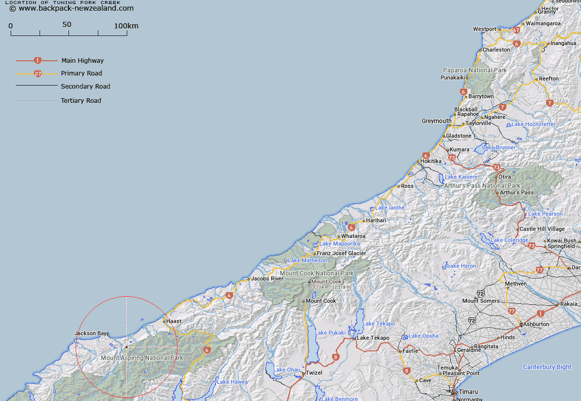
Map showing location of Tuning Fork Creek


LINZ description: Stream flowing north-westerly into Arawhata River from Lake Greaney and Minim Mere in the Haast Range
Latitude: -44.067149
Longitude: 168.754569
Northing: 5111900
Easting: 1260000
Land District: Westland
Feat Type: Stream


Scroll down to see a more detailed road map and below that a topographical map showing the location of Tuning Fork Creek. The road map has been supplied by openstreetmap and the topographical map of Tuning Fork Creek has been supplied by Land Information New Zealand (LINZ).

Yes you can use the top static map for you school/university project or personal website with a link back. Contact me for any commercial use.

Tuning Fork Creek Map New Zealand


New Zealand places in our database
[ A ] [ B ] [ C ] [ D ] [ E ] [ F ] [ G ] [ H ] [ I ] [ J ] [ K ] [ L ] [ M ] [ N ] [ O ] [ P ] [ Q ] [ R ] [ S ] [ T ] [ U ] [ V ] [ W ] [ X ] [ Y ] [ Z ]


Closest 20 Streams to Tuning Fork Creek

Ferryman Creek ( 1.5km )   T.L.Creek ( 1.67km )   Bill Water ( 2.1km )   Dismal Creek ( 2.68km )   Fury Torrent ( 3.71km )   Music Creek ( 4.36km )   Starry Water ( 4.45km )   Frolic Brook ( 4.84km )   Investigation Creek ( 4.89km )   Captain Creek ( 4.9km )   Jackass Creek ( 5.09km )   Whizzing Water ( 5.18km )   Saunter Stream ( 5.61km )   Bungle Brook ( 5.83km )   Boulder Point ( 6.02km )   Fizzle Brook ( 6.05km )   Tower Hill Creek ( 6.21km )   Thrill Creek ( 6.29km )   Ferny Rivulet ( 6.33km )   Nisson Creek ( 6.47km )   Branch Brook ( 6.5km )   Jack Creek ( 6.64km )   Tingling Brook ( 6.73km )   Silver Stream ( 6.77km )   Magic Water ( 6.83km )   Beau Creek ( 6.86km )   Chatter Rill ( 6.9km )   Madcap Torrent ( 6.92km )   Brewer Water ( 6.94km )   Downpour Torrent ( 7.08km )   Tuesday Brook ( 7.15km )   Duncan Creek ( 7.17km )   Sandies Creek ( 7.29km )   Gipsy Creek ( 7.53km )   Hubbub Torrent ( 7.68km )   Hindley Creek ( 7.71km )   Access Creek ( 7.85km )   Howe Creek ( 8.01km )   Nolans Creek ( 8.15km )   Micky Creek ( 8.24km )