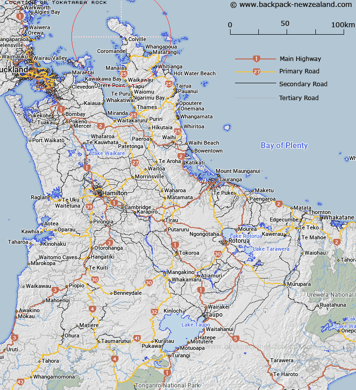
Map showing location of Tokatarea Rock


LINZ description: A coastal rock near the northern entrance to Colville Bay on the west coast of Coromandel Peninsula, adjacent to Ō-Tautū-i-te-Rangi Point. Feature shown on: NZMS260 S10 Edition 2 1995; NZTopo50-BA34 179455.
Latitude: -36.611215
Longitude: 175.436451
Northing: 5945491.3
Easting: 1817903.7
Land District: South Auckland
Feat Type: Island


Scroll down to see a more detailed road map and below that a topographical map showing the location of Tokatarea Rock. The road map has been supplied by openstreetmap and the topographical map of Tokatarea Rock has been supplied by Land Information New Zealand (LINZ).

Yes you can use the top static map for you school/university project or personal website with a link back. Contact me for any commercial use.

Tokatarea Rock Map New Zealand


New Zealand places in our database
[ A ] [ B ] [ C ] [ D ] [ E ] [ F ] [ G ] [ H ] [ I ] [ J ] [ K ] [ L ] [ M ] [ N ] [ O ] [ P ] [ Q ] [ R ] [ S ] [ T ] [ U ] [ V ] [ W ] [ X ] [ Y ] [ Z ]


Closest 20 Islands to Tokatarea Rock

Opuhi Rocks ( 2.67km )   Oruapopou Island ( 3.44km )   Motuwhakakewa Island ( 7.15km )   Motumakareta Island ( 7.35km )   Motuwi Island (Double Island) ( 7.51km )   Motupotaka (Black Rocks) ( 8km )   Motuwinukenuke Island (Square Island) ( 8.03km )   Motukahaua Island (Happy Jack Island) ( 8.57km )   Frenchmans Cap ( 8.64km )   Motukawao Group ( 9.54km )   Motukaramarama Island (Bush Island) ( 9.59km )   Moturua Island (Rabbit Island) ( 10.13km )   Motutakupu Island (Gannet Island) ( 10.2km )   Honepoto Rock ( 11.49km )   Ngamotukaraka Islands (Three Kings Islands) ( 11.68km )   Motutupapaka Rock ( 12.9km )   Motukokopu Island ( 12.93km )   Motuturua Rock ( 13.04km )   Tokaroa Rock ( 13.44km )   Hautapu Rocks ( 13.68km )   Motupohukuo Island (Turkey Island) ( 13.96km )   Motumorirau Island (Pauls Island) ( 14.4km )   Motuoruhi Island (Goat Island) ( 14.7km )   Sugar Loaf Rocks ( 15.4km )   Motukaramea Island (Kaikai Island) ( 15.53km )   The Pinnacles ( 15.82km )   Motukopake Island ( 15.85km )   Motuokino Island (Shag Rock) ( 16.3km )   Motukakarikitahi Island (Rat island) ( 16.41km )   Square Top Island ( 16.85km )   Waimate Island ( 17.02km )   Motukopu Island ( 17.7km )   Whanganui Island ( 18km )   Motutapere Island ( 18.97km )   Pungapunga Island ( 19.05km )   Cow Island ( 21.81km )   Calf Island ( 22.47km )   Channel Island ( 23.02km )   Rangipukea Island ( 24.15km )   Tataweka Island ( 25.48km )