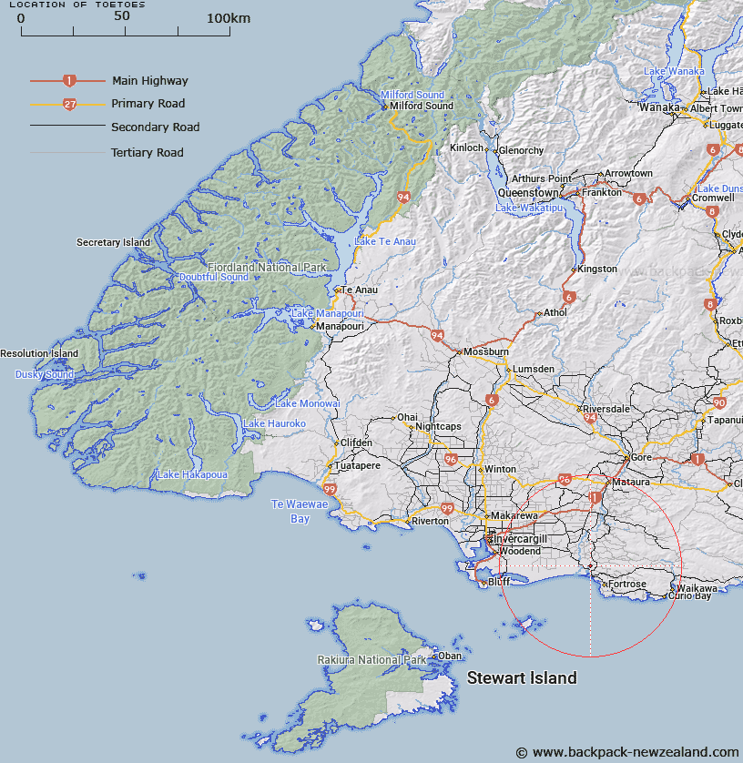
Map showing location of Toetoes
LINZ description: Trig Station (now) Toetoes No 2 (Geodetic Code B06U), approximately 2.5km Southwest of Waimahaka, 62m. Toetoes Survey District.
Latitude: -46.528492
Longitude: 168.788013
Northing: 4838606.9
Easting: 1276990.5
Land District: Southland
Feat Type: Trig Station
Latitude: -46.528492
Longitude: 168.788013
Northing: 4838606.9
Easting: 1276990.5
Land District: Southland
Feat Type: Trig Station

Scroll down to see a more detailed road map and below that a topographical map showing the location of Toetoes. The road map has been supplied by openstreetmap and the topographical map of Toetoes has been supplied by Land Information New Zealand (LINZ).
Yes you can use the top static map for you school/university project or personal website with a link back. Contact me for any commercial use.
[ A ] [ B ] [ C ] [ D ] [ E ] [ F ] [ G ] [ H ] [ I ] [ J ] [ K ] [ L ] [ M ] [ N ] [ O ] [ P ] [ Q ] [ R ] [ S ] [ T ] [ U ] [ V ] [ W ] [ X ] [ Y ] [ Z ]