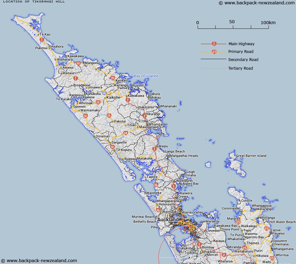
Map showing location of Tikorangi Hill
LINZ description: Hill near the Waikato River mouth on the southern bank near Te Kohanga, south west of Pukekohe.
Latitude: -37.30785
Longitude: 174.849652
Northing: 5869372
Easting: 1763916.5
Land District: North Auckland
Feat Type: Hill
Latitude: -37.30785
Longitude: 174.849652
Northing: 5869372
Easting: 1763916.5
Land District: North Auckland
Feat Type: Hill

Scroll down to see a more detailed road map and below that a topographical map showing the location of Tikorangi Hill. The road map has been supplied by openstreetmap and the topographical map of Tikorangi Hill has been supplied by Land Information New Zealand (LINZ).
Yes you can use the top static map for you school/university project or personal website with a link back. Contact me for any commercial use.
[ A ] [ B ] [ C ] [ D ] [ E ] [ F ] [ G ] [ H ] [ I ] [ J ] [ K ] [ L ] [ M ] [ N ] [ O ] [ P ] [ Q ] [ R ] [ S ] [ T ] [ U ] [ V ] [ W ] [ X ] [ Y ] [ Z ]