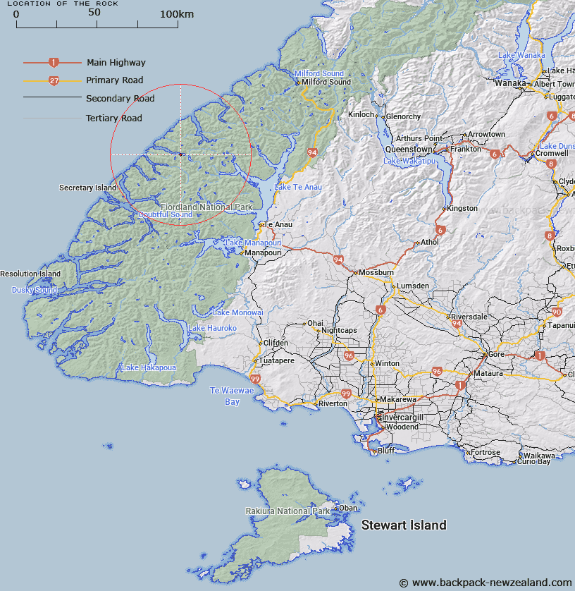
Map showing location of The Rock
LINZ description: Trig. Station 12962 (Geodetic Code A0AY), on rock island on the southern side of Caswell Sound about 2km from the head of the Sound.
Latitude: -45.048533
Longitude: 167.282524
Northing: 4995733.3
Easting: 1149757.2
Land District: Southland
Feat Type: Trig Station
Latitude: -45.048533
Longitude: 167.282524
Northing: 4995733.3
Easting: 1149757.2
Land District: Southland
Feat Type: Trig Station

Scroll down to see a more detailed road map and below that a topographical map showing the location of The Rock. The road map has been supplied by openstreetmap and the topographical map of The Rock has been supplied by Land Information New Zealand (LINZ).
Yes you can use the top static map for you school/university project or personal website with a link back. Contact me for any commercial use.
[ A ] [ B ] [ C ] [ D ] [ E ] [ F ] [ G ] [ H ] [ I ] [ J ] [ K ] [ L ] [ M ] [ N ] [ O ] [ P ] [ Q ] [ R ] [ S ] [ T ] [ U ] [ V ] [ W ] [ X ] [ Y ] [ Z ]