Map showing location of The Big Hill


LINZ description: Feature shown on: NZMS260 H37 Edition 1 1994; NZMS 273 Map 10 1999; NZTopo50-BY16 739419
Latitude: -43.841121
Longitude: 170.18781
Northing: 5141928.8
Easting: 1373930.6
Land District: Canterbury
Feat Type: Hill


Scroll down to see a more detailed road map and below that a topographical map showing the location of The Big Hill. The road map has been supplied by openstreetmap and the topographical map of The Big Hill has been supplied by Land Information New Zealand (LINZ).

Yes you can use the top static map for you school/university project or personal website with a link back. Contact me for any commercial use.
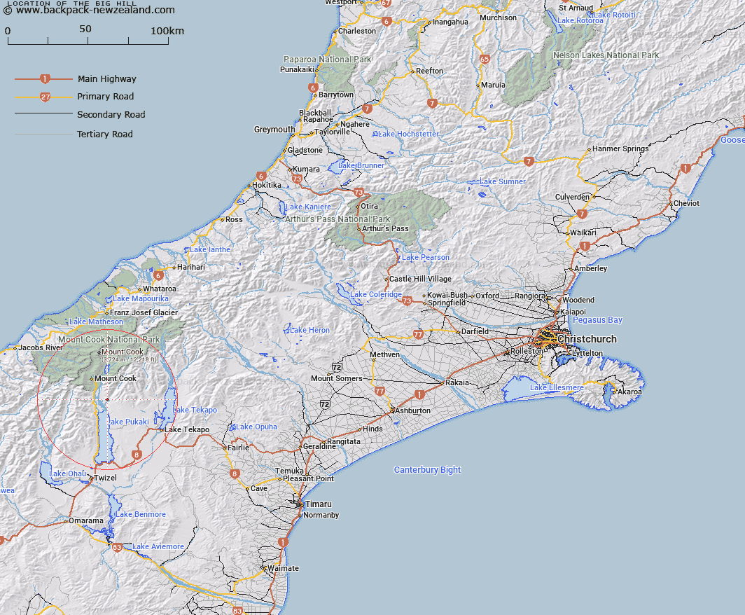
The Big Hill Map New Zealand


New Zealand places in our database
[ A ] [ B ] [ C ] [ D ] [ E ] [ F ] [ G ] [ H ] [ I ] [ J ] [ K ] [ L ] [ M ] [ N ] [ O ] [ P ] [ Q ] [ R ] [ S ] [ T ] [ U ] [ V ] [ W ] [ X ] [ Y ] [ Z ]


Closest 20 Hills to The Big Hill

Rotten Tommy ( 4.1km )   Mount Burnett ( 4.71km )   Corbies Peaks ( 4.8km )   Mount Catherine ( 5.44km )   Mount Donald ( 5.64km )   Mount Gillies ( 6.73km )   Mount German ( 7.23km )   Round Hill ( 7.73km )   Mount Kea ( 8.42km )   Rocky Knob ( 8.66km )   Mount Caitriana ( 8.92km )   Mount Stevenson ( 9.09km )   Mount Blackburn ( 9.53km )   Mount Hodgkinson ( 9.61km )   Mount Fagin ( 10.18km )   Mount Lloyd ( 10.42km )   Burnett Mountains ( 10.51km )   Brass Peak ( 10.96km )   Mount Brown ( 11.29km )   Mount Cran ( 11.59km )   Sebastopol ( 12.07km )   Mount Edgar Thomson ( 12.18km )   Mount Dark ( 12.32km )   Kai Tarau ( 13.62km )   Mount Little ( 13.71km )   Mauka Atua ( 13.76km )   Mount Annette ( 14.2km )   Mount Sealy ( 14.24km )   Mount Joseph ( 14.84km )   Ferintosh Peak ( 14.97km )   Mount Jean ( 15.05km )   Glentanner Peak ( 15.18km )   Mount Massey ( 15.2km )   The Acolyte ( 15.26km )   Mount Bruce ( 15.28km )   The Needles ( 15.3km )   Foliage Hill ( 15.35km )   Mount Jeanette ( 15.44km )   Kitchener ( 15.59km )   Mount Marie ( 15.82km )