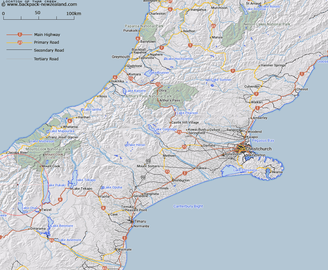
Map showing location of Thar Creek


LINZ description: A tributary approximately 2.5 km long, on the west side of the Hopkins River. 4 km north of the Huxley River.
Latitude: -43.954328
Longitude: 169.818408
Northing: 5128277.7
Easting: 1344718.2
Land District: Canterbury
Feat Type: Stream


Scroll down to see a more detailed road map and below that a topographical map showing the location of Thar Creek. The road map has been supplied by openstreetmap and the topographical map of Thar Creek has been supplied by Land Information New Zealand (LINZ).

Yes you can use the top static map for you school/university project or personal website with a link back. Contact me for any commercial use.

Thar Creek Map New Zealand


New Zealand places in our database
[ A ] [ B ] [ C ] [ D ] [ E ] [ F ] [ G ] [ H ] [ I ] [ J ] [ K ] [ L ] [ M ] [ N ] [ O ] [ P ] [ Q ] [ R ] [ S ] [ T ] [ U ] [ V ] [ W ] [ X ] [ Y ] [ Z ]


Closest 20 Streams to Thar Creek

Paradise Creek ( 3.68km )   Hopkins River ( 3.78km )   Elcho Stream ( 4.27km )   South Elcho Stream ( 5.31km )   North Elcho Stream ( 5.54km )   Huxley River ( 6.73km )   Dodger Stream ( 6.97km )   Huxley River North Branch ( 7.28km )   Sutherland Stream ( 7.49km )   S Bend Creek ( 7.74km )   Dobson Creek ( 8.26km )   Ross Stream ( 8.75km )   Huxley River South Branch ( 9.04km )   Watson Stream ( 9.11km )   McKenzie Creek ( 9.56km )   Mackenzie Creek ( 9.56km )   Jamieson Stream ( 9.59km )   Fraser Creek ( 9.62km )   Barron Creek ( 9.89km )   Thomson Stream ( 10.35km )   Dobson River ( 10.6km )   Jackson Creek ( 10.88km )   Ward Creek ( 11.17km )   Kea Stream ( 11.26km )   Landsborough River ( 11.89km )   Camp Stream ( 12.03km )   McKerrow Creek ( 12.04km )   Landslip Creek ( 12.07km )   Royal Creek ( 12.51km )   Stewart Stream ( 12.69km )   Solution Creek ( 13.29km )   North Branch Temple Stream ( 13.42km )   Browning Creek ( 13.76km )   Wilson Creek ( 14km )   Hunter River East Branch ( 14.14km )   Pass Creek ( 14.23km )   Stony Stream ( 14.58km )   Baker Creek ( 14.79km )   Adams Creek ( 15.22km )   Dechen Creek ( 15.33km )