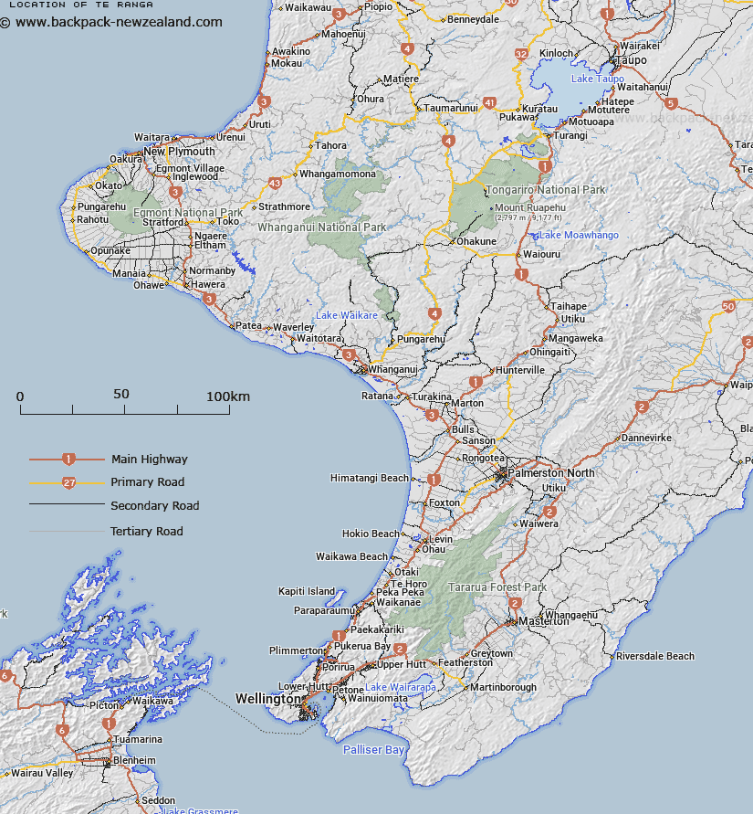
Map showing location of Te Ranga


LINZ description: Trig, 54m, located midway between Te Matarae Point and Lake Huro, Chatham Island, named A Te Ranga (geodetic code BAVH)
Latitude: -43.928405
Longitude: -176.485347
Northing: 0
Easting: 0
Land District: Wellington
Feat Type: Hill


Scroll down to see a more detailed road map and below that a topographical map showing the location of Te Ranga. The road map has been supplied by openstreetmap and the topographical map of Te Ranga has been supplied by Land Information New Zealand (LINZ).

Yes you can use the top static map for you school/university project or personal website with a link back. Contact me for any commercial use.

Te Ranga Map New Zealand


New Zealand places in our database
[ A ] [ B ] [ C ] [ D ] [ E ] [ F ] [ G ] [ H ] [ I ] [ J ] [ K ] [ L ] [ M ] [ N ] [ O ] [ P ] [ Q ] [ R ] [ S ] [ T ] [ U ] [ V ] [ W ] [ X ] [ Y ] [ Z ]


Closest 20 Hills to Te Ranga

Ohuru ( 4.19km )   Kapangatakahu ( 5.28km )   Te Whenuhau ( 5.56km )   Rangihapainga ( 6.42km )   Tikitiki Hill ( 7.07km )   Koropapa ( 7.31km )   Kahunene ( 7.52km )   Kotokehere ( 9.41km )   Rangitane ( 12.97km )   Rangiauri ( 14.25km )   Maungatere Hill ( 14.65km )   Te Whata ( 14.8km )   Whakamarino ( 14.8km )   Rangaika ( 15.09km )   Oehau ( 16.75km )   Oropuke ( 16.91km )   Te Rangaapene ( 17.48km )   Stony Hill ( 18.46km )   Te Hapupu ( 18.87km )   Korako ( 18.96km )   Wairua ( 19.78km )   Motuporoporo ( 21.1km )   Hokopoi ( 21.84km )   Motuariki Hill ( 23.63km )   Mount Chudleigh ( 23.74km )   Matarakau ( 24.15km )   Mount Diffenbach (Hemokawa) ( 24.21km )   Tawirikoko ( 24.24km )   Rangitihi ( 24.24km )   Koromaunga ( 26.31km )   Puhina ( 28.15km )   Te Puke Hill ( 28.63km )   Pukerakei ( 29.12km )   Maunganui ( 29.3km )   Matakitaki ( 30.84km )   Waihere ( 43.44km )   Hakepa ( 44.95km )   Hapua Hill ( 46.4km )   Murumuru ( 50.7km )   Rangatira ( 52.67km )