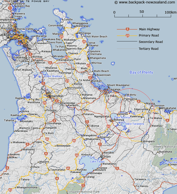
Map showing location of Te Pohue Bay


LINZ description: Located on the southwest shore of Lake Rotoehu. NZMS260 V15 185460.
Latitude: -38.033834
Longitude: 176.51434
Northing: 5784598.4
Easting: 1908454.8
Land District: South Auckland
Feat Type: Bay


Scroll down to see a more detailed road map and below that a topographical map showing the location of Te Pohue Bay. The road map has been supplied by openstreetmap and the topographical map of Te Pohue Bay has been supplied by Land Information New Zealand (LINZ).

Yes you can use the top static map for you school/university project or personal website with a link back. Contact me for any commercial use.

Te Pohue Bay Map New Zealand


New Zealand places in our database
[ A ] [ B ] [ C ] [ D ] [ E ] [ F ] [ G ] [ H ] [ I ] [ J ] [ K ] [ L ] [ M ] [ N ] [ O ] [ P ] [ Q ] [ R ] [ S ] [ T ] [ U ] [ V ] [ W ] [ X ] [ Y ] [ Z ]


Closest 20 Bays to Te Pohue Bay

Te P?hue Bay ( 0km )   Te Pohue Bay ( 0km )   Matawhaura Bay ( 1km )   Waione Bay ( 1.26km )   Wharenareke Bay ( 1.93km )   Omahota Bay ( 2.52km )   Te Wairoa Bay ( 2.53km )   Korokitewao Bay ( 2.65km )   Ng?mimiro Bay ( 2.76km )   Kennedy Bay ( 2.76km )   Tapuaeharuru Bay ( 2.86km )   ?marupoto Bay ( 3.13km )   Omarupoto Bay ( 3.13km )   T?whakarere Bay ( 3.46km )   Wain?kau Bay ( 3.51km )   Wainikau Bay ( 3.51km )   ?taut? Bay ( 3.59km )   Otautu Bay ( 3.59km )   Haupapa Bay ( 4.2km )   Te K?piha Bay ( 4.73km )   Whangaroa Inlet ( 4.73km )   Whangaroa Bay ( 4.73km )   Te Rotoiti Bay ( 4.83km )   Pangopangoa Bay ( 5.5km )   ?t?marokura Bay ( 6.25km )   Ngongoahi Bay ( 6.37km )   Punawhakareia Bay ( 6.71km )   Puketapu Bay ( 6.83km )   ?tairoa Beach ( 7.41km )   Te Oneroa Bay ( 7.6km )   Te Ruato Bay ( 7.66km )   Ng?puka Bay ( 8.36km )   Hauparu Bay ( 8.81km )   Tokerau Bay ( 9.06km )   Tapuaekura Bay ( 9.15km )   Paripari te tai Bay ( 9.55km )   Tauarau Bay ( 9.74km )   ?kahutoroa Bay ( 10.02km )   Tauranganui Bay ( 10.95km )   Ng?hau? Bay ( 11.13km )