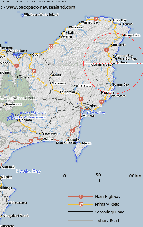
Map showing location of Te Ariuru Point


LINZ description: Located at Tokomaru Bay, east of Koutunui Point.
Latitude: -38.109009
Longitude: 178.339938
Northing: 5768600
Easting: 2068300
Land District: Gisborne
Feat Type: Point


Scroll down to see a more detailed road map and below that a topographical map showing the location of Te Ariuru Point. The road map has been supplied by openstreetmap and the topographical map of Te Ariuru Point has been supplied by Land Information New Zealand (LINZ).

Yes you can use the top static map for you school/university project or personal website with a link back. Contact me for any commercial use.

Te Ariuru Point Map New Zealand


New Zealand places in our database
[ A ] [ B ] [ C ] [ D ] [ E ] [ F ] [ G ] [ H ] [ I ] [ J ] [ K ] [ L ] [ M ] [ N ] [ O ] [ P ] [ Q ] [ R ] [ S ] [ T ] [ U ] [ V ] [ W ] [ X ] [ Y ] [ Z ]


Closest 20 Points to Te Ariuru Point

Te Ariuru Point ( 0km )   Koutunui Point ( 1.51km )   Kotonui Point ( 1.51km )   Koutunui Head ( 6.93km )   Koatunui Head ( 6.93km )   Pokurakura Point ( 7.56km )   Mawhai Point ( 7.75km )   Otamarauri Point ( 12.89km )   Otamarauiri Point ( 12.89km )   Waikahawai Point ( 16.84km )   Waikakawai Point ( 16.84km )   Kaimoho Point ( 19.32km )   Marau Point ( 19.84km )   Koutouraoa Point ( 23.43km )   Koutuamoa Point ( 23.43km )   Pairau Point ( 24.78km )   Paerau Point ( 24.78km )   Te Karaka Point ( 27.15km )   Te Upokoohinepaki Point ( 31.81km )   Whakariki Point ( 32.2km )   Gable End Foreland ( 46.82km )   East Cape ( 50km )   Te Wharenaonao Point ( 51.66km )   Te Ana Paikea ( 52.33km )   Te Anaopaikea Point ( 52.33km )   Omaruhou Point ( 53.5km )   Maruhou Point ( 53.5km )   Horoera Point ( 53.54km )   Wharariki Point ( 53.64km )   Te Hekawa Point ( 53.65km )   Tapuwae-o-rangokoko ( 55.54km )   Tapuwaeorongokako ( 55.54km )   Pariokonohi Point ( 56.55km )   Pariokanoki Point ( 56.55km )   Haupara Point ( 57.75km )   Turihaua Point ( 59.67km )   Matakaoa Point ( 60.9km )   Hukanui Point ( 62.58km )   Hukainui Point ( 62.58km )   Tatapouri Point ( 62.67km )