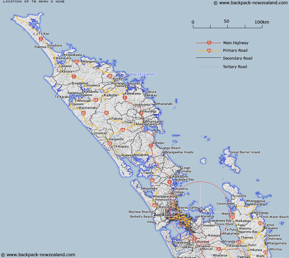
Map showing location of Te Akau o Hine


LINZ description: Small bay along the south-west coast of Waiheke Island, enclosing Tanerore Cove, and between Hitapa Bay and Kuakarau Bay.
Latitude: -36.81995
Longitude: 175.045996
Northing: 5923147.7
Easting: 1782484
Land District: North Auckland
Feat Type: Bay


Scroll down to see a more detailed road map and below that a topographical map showing the location of Te Akau o Hine. The road map has been supplied by openstreetmap and the topographical map of Te Akau o Hine has been supplied by Land Information New Zealand (LINZ).

Yes you can use the top static map for you school/university project or personal website with a link back. Contact me for any commercial use.

Te Akau o Hine Map New Zealand


New Zealand places in our database
[ A ] [ B ] [ C ] [ D ] [ E ] [ F ] [ G ] [ H ] [ I ] [ J ] [ K ] [ L ] [ M ] [ N ] [ O ] [ P ] [ Q ] [ R ] [ S ] [ T ] [ U ] [ V ] [ W ] [ X ] [ Y ] [ Z ]


Closest 20 Bays to Te Akau o Hine

Tanerore Cove ( 0.14km )   Kauakarau Bay ( 0.6km )   Kuakarau Bay ( 0.6km )   Hitapa Bay ( 0.74km )   Wharetana Bay ( 1.13km )   Omiha Bay ( 1.16km )   Oakura Bay ( 1.2km )   Okoka Bay ( 1.27km )   Rocky Bay (Whakanewha Bay) ( 1.29km )   Kauaroa Bay ( 1.46km )   Te Whau Bay ( 1.87km )   Putiki Bay ( 1.88km )   Anzac Bay ( 2.15km )   Putaki Bay ( 2.28km )   Kaikuku Bay ( 2.44km )   Takirau Bay ( 2.6km )   Huruhi Bay ( 3.43km )   Woodside Bay ( 3.47km )   Deadmans Bay ( 4.31km )   Te Wharau Bay ( 4.47km )   Mawhitipana Bay ( 4.67km )   Mawitipana Bay ( 4.67km )   Onetangi Bay ( 4.71km )   Pipitewai Bay ( 4.73km )   Matarahui Bay ( 4.84km )   Waimanga Bay ( 4.86km )   Repo Bay ( 4.95km )   Awaawaroa Bay ( 5.01km )   Waiheke Bay ( 5.14km )   Opopoto Bay ( 5.19km )   Enclosure Bay ( 5.29km )   Sandy Bay ( 5.4km )   Hekerua Bay ( 5.44km )   Oneroa Bay ( 5.46km )   Cable Bay ( 5.51km )   Circular Bay ( 5.82km )   Piemelon Bay ( 6.01km )   Church Bay ( 6.44km )   Woodlands Bay ( 6.7km )   Whites Bay ( 6.8km )