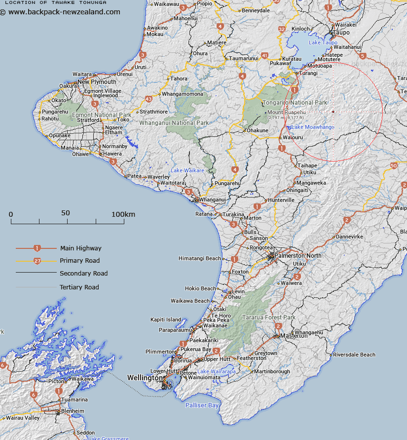
Map showing location of Tawake Tohunga
LINZ description: Trig . Station on the Tawake Tohunga Range. Map reference, N. 123/556.6. Trig. Station 26.
Latitude: -39.275239
Longitude: 176.091264
Northing: 5648122.8
Easting: 1866663.7
Land District: Wellington
Feat Type: Trig Station
Latitude: -39.275239
Longitude: 176.091264
Northing: 5648122.8
Easting: 1866663.7
Land District: Wellington
Feat Type: Trig Station

Scroll down to see a more detailed road map and below that a topographical map showing the location of Tawake Tohunga. The road map has been supplied by openstreetmap and the topographical map of Tawake Tohunga has been supplied by Land Information New Zealand (LINZ).
Yes you can use the top static map for you school/university project or personal website with a link back. Contact me for any commercial use.
[ A ] [ B ] [ C ] [ D ] [ E ] [ F ] [ G ] [ H ] [ I ] [ J ] [ K ] [ L ] [ M ] [ N ] [ O ] [ P ] [ Q ] [ R ] [ S ] [ T ] [ U ] [ V ] [ W ] [ X ] [ Y ] [ Z ]