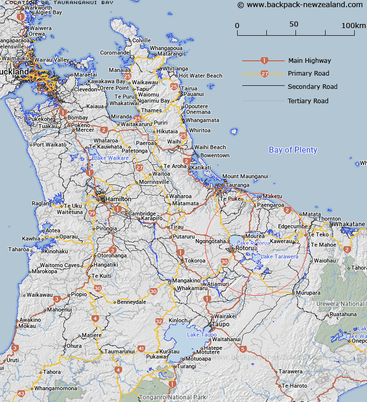
Map showing location of Tauranganui Bay


LINZ description: Located at Lake Ōkataina north of Ngāhauā Bay and east of Tahunapō Bay
Latitude: -38.103252
Longitude: 176.425592
Northing: 5777184
Easting: 1900378.7
Land District: South Auckland
Feat Type: Bay


Scroll down to see a more detailed road map and below that a topographical map showing the location of Tauranganui Bay. The road map has been supplied by openstreetmap and the topographical map of Tauranganui Bay has been supplied by Land Information New Zealand (LINZ).

Yes you can use the top static map for you school/university project or personal website with a link back. Contact me for any commercial use.

Tauranganui Bay Map New Zealand


New Zealand places in our database
[ A ] [ B ] [ C ] [ D ] [ E ] [ F ] [ G ] [ H ] [ I ] [ J ] [ K ] [ L ] [ M ] [ N ] [ O ] [ P ] [ Q ] [ R ] [ S ] [ T ] [ U ] [ V ] [ W ] [ X ] [ Y ] [ Z ]


Closest 20 Bays to Tauranganui Bay

Ng?hau? Bay ( 0.53km )   Tahunap? Bay ( 1.13km )   Tahunapo Bay ( 1.13km )   Log Pool ( 1.42km )   Kaiwaka Bay ( 1.57km )   Waikereru Bay ( 2.4km )   Waikerer? Bay ( 2.4km )   Paremata Bay ( 3.23km )   Parimata Bay ( 3.23km )   Kaik?kahi Bay ( 3.93km )   Kaikakahi Bay ( 3.93km )   ?ruaroa Bay ( 4.77km )   Te Ruato Bay ( 5.27km )   Haumingi Bay ( 5.43km )   ?tangimoana Bay ( 5.49km )   Otangimoana Bay ( 5.49km )   Punawhakareia Bay ( 5.75km )   Hauparu Bay ( 6.26km )   Tapuaekura Bay ( 6.91km )   T?whakarere Bay ( 7.66km )   ?kahutoroa Bay ( 7.68km )   Wharetata Bay ( 7.99km )   Manup?rua Bay ( 8.06km )   Tauarau Bay ( 8.2km )   Puketapu Bay ( 8.23km )   Te Karamea Bay ( 8.28km )   Ngongoahi Bay ( 8.41km )   Tapuaeharuru Bay ( 8.43km )   ?tairoa Beach ( 8.56km )   Ng?heret? Bay ( 8.61km )   T?moana Bay ( 8.88km )   Te K?piha Bay ( 9km )   Waitangi Bay ( 9.08km )   Wairau Bay ( 9.22km )   Korokitewao Bay ( 9.35km )   Te Matawera Bay ( 9.39km )   Ng?puka Bay ( 9.41km )   Rahuiroa Bay ( 9.48km )   R?huiroa Bay ( 9.48km )   Te P?hue Bay ( 9.64km )