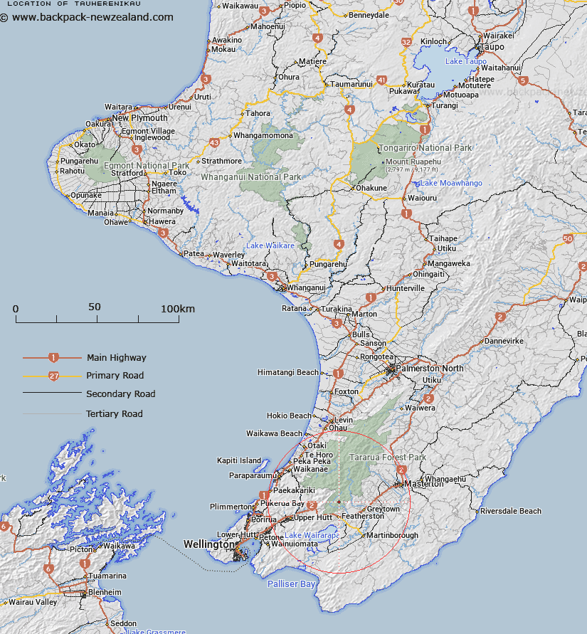
Map showing location of Tauherenikau
LINZ description: A hill at height 889m approximately 8km north of Featherston.
NZTopo50-BP33 957542
Latitude: -41.040139
Longitude: 175.327944
Northing: 5454176.3
Easting: 1795672.4
Land District: Wellington
Feat Type: Hill
Latitude: -41.040139
Longitude: 175.327944
Northing: 5454176.3
Easting: 1795672.4
Land District: Wellington
Feat Type: Hill

Scroll down to see a more detailed road map and below that a topographical map showing the location of Tauherenikau. The road map has been supplied by openstreetmap and the topographical map of Tauherenikau has been supplied by Land Information New Zealand (LINZ).
Yes you can use the top static map for you school/university project or personal website with a link back. Contact me for any commercial use.
[ A ] [ B ] [ C ] [ D ] [ E ] [ F ] [ G ] [ H ] [ I ] [ J ] [ K ] [ L ] [ M ] [ N ] [ O ] [ P ] [ Q ] [ R ] [ S ] [ T ] [ U ] [ V ] [ W ] [ X ] [ Y ] [ Z ]