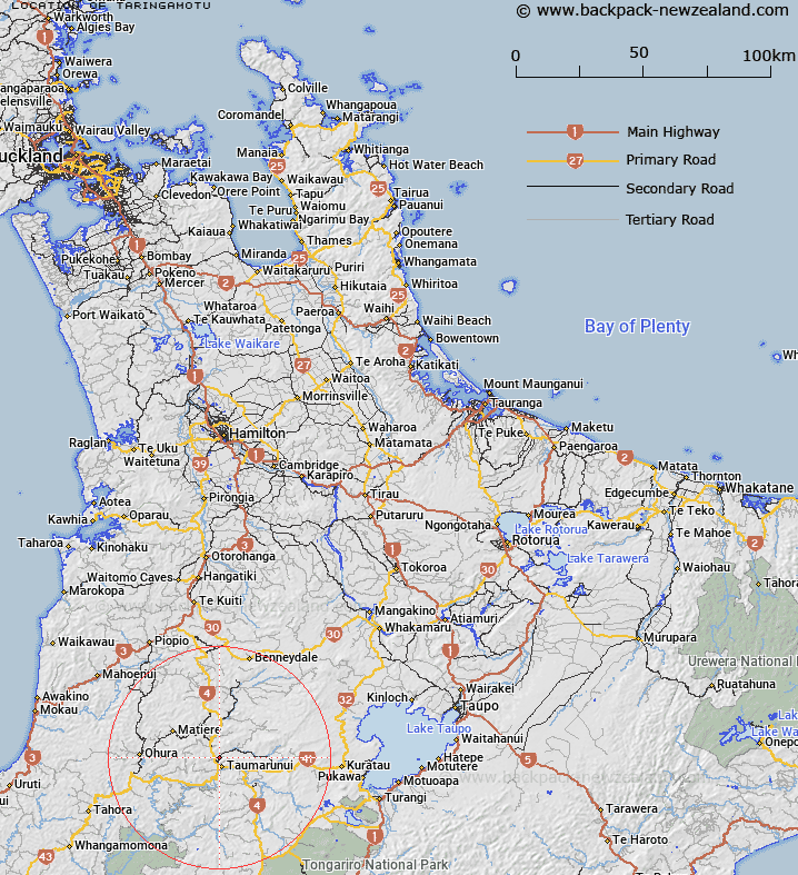
Map showing location of Taringamotu
LINZ description: Small locality to the north of Taumarunui, on the banks of the river of the same name near where it meets Ongarue River.
Latitude: -38.849817
Longitude: 175.257746
Northing: 5697467
Easting: 1795925.7
Land District: South Auckland
Feat Type: Locality
Latitude: -38.849817
Longitude: 175.257746
Northing: 5697467
Easting: 1795925.7
Land District: South Auckland
Feat Type: Locality

Scroll down to see a more detailed road map and below that a topographical map showing the location of Taringamotu. The road map has been supplied by openstreetmap and the topographical map of Taringamotu has been supplied by Land Information New Zealand (LINZ).
Yes you can use the top static map for you school/university project or personal website with a link back. Contact me for any commercial use.
[ A ] [ B ] [ C ] [ D ] [ E ] [ F ] [ G ] [ H ] [ I ] [ J ] [ K ] [ L ] [ M ] [ N ] [ O ] [ P ] [ Q ] [ R ] [ S ] [ T ] [ U ] [ V ] [ W ] [ X ] [ Y ] [ Z ]